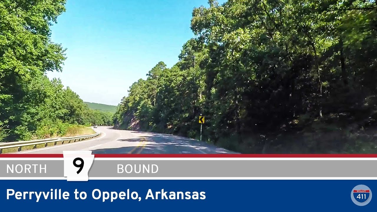
Let’s take a relaxing roll through the heart of the Arkansas River Valley as we drive north along Arkansas Highway 9, connecting the small community of Oppelo to the larger town of Morrilton. This short but interesting stretch covers roughly 7 miles and gives us a pleasant blend of open farmland, river crossing views, and a smooth entrance into town life. We start off right in Oppelo at the junction with Arkansas Highway 154 — a crossroad that itself is a gateway to Petit Jean Mountain if you feel like detouring west. Rolling north from this point, we quickly pull away from the compact grid of Oppelo’s few blocks and find ourselves surrounded by wide fields typical of the valley’s fertile floodplain.
Not far out of town, Highway 9 swings gently east, opening up long sightlines across flat pastures and scattered farmsteads. On the right day, you’ll catch glimpses of cattle grazing or see tractors crawling along rows of soybeans or corn. Before long, we approach the junction with Arkansas Highway 113. Locals know this connector well — it’s a handy link down to the Arkansas River’s south bank communities and the backroads toward Perryville. But we stick with the main route, veering northeast as Highway 9 threads its way toward the river crossing that defines this short drive. The Arkansas River crossing itself is a highlight: an elevated bridge with a big sky above and broad water below, usually dotted with fishing boats or a few herons standing watch near the banks.
Crossing the river, the scenery shifts once more as we draw closer to Morrilton. Almost immediately, we pass the intersection with AR-9 Business — which is actually the original alignment of Highway 9 through old downtown Morrilton before the bypass shifted traffic eastward. Staying true to the current alignment, we roll through the east side of town and meet up with U.S. Highway 64 at a partial cloverleaf interchange — convenient for travelers heading east to Conway or west to Russellville. As we push north through town, the road skirts a small rise that locals often just call “the mountain,” a modest but photogenic hill that hints at the more rugged terrain to the north. Our journey ends at the intersection with Harding Street, and just beyond that, the interchange with Interstate 40 — a major east-west artery that connects Morrilton to much of central Arkansas.
This quick run along Arkansas Highway 9 is a great example of how even a short stretch of road can show off multiple sides of the Natural State. From open farmland and a scenic river crossing to practical access to small-town charm and big interstates, it’s a compact slice of Arkansas travel. If you’re ever passing through, take a moment to explore the area — maybe detour up to Petit Jean State Park for a hike, or spend an hour wandering historic downtown Morrilton’s shops and murals. It’s a good reminder that sometimes the roads less hyped are still well worth the drive.
🗺️ Route Map
0 Comments