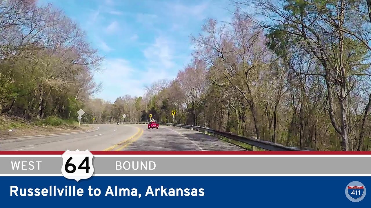
Take a leisurely ride through the Arkansas River Valley as we follow a quiet but richly textured stretch of U.S. Highway 64 from Alma to Ozark. This 24-mile journey unfolds just north of Interstate 40, weaving through farmland, forests, and small towns that trace the path of the old Butterfield Overland Mail route and early American settlement. Whether you’re tracing history or just looking for a relaxing alternative to the interstate, this drive delivers both charm and scenery in equal measure.
We begin our eastward drive in Alma, a city often known as the “Spinach Capital of the World,” where U.S. 64 departs from its junction with U.S. Highway 71. Almost immediately, the pace of life slows as the highway leaves behind the four-lane bustle and enters a more pastoral setting. Rolling fields stretch toward distant ridgelines, with farmhouses nestled under aging oaks. The town of Dyer greets us soon after, a small but longstanding community tucked beside the tracks of the Union Pacific Railroad. Its historic roots in agriculture are still evident, with barns, silos, and crop rows forming a quiet backdrop to our drive.
As we continue east, we reach Mulberry—a town that takes its name from the river that winds nearby. Here, U.S. 64 intersects Arkansas Highway 215, a road that leads north toward the Ozark National Forest and south to the riverbanks. Mulberry itself hints at its frontier past, with a compact downtown and glimpses of early 20th-century buildings still in use. East of town, the landscape widens. For several miles, we find ourselves gliding between the Arkansas River to our right and I-40 to our left. Though just out of view, the river’s presence is felt in the lush bottomlands that cradle fields of corn and hay. Occasional breaks in the trees offer glimpses of levees, irrigation ditches, and distant barges moving downriver—reminders of how vital this waterway has always been to the region.
Approaching Ozark, the road rises slightly as the terrain becomes more wooded and undulating. The trees here—pecan, sycamore, and loblolly pine—form dense canopies, especially in late spring and early summer when the undergrowth is thick and green. This part of the route is especially scenic in the golden hours of morning or evening, when the light filters through the leaves and dances across the pavement. As we reach the western edge of Ozark, the route passes homes and businesses that begin to cluster more tightly. We come to a gentle stop at the intersection with Arkansas Highway 23, known locally as the Pig Trail Scenic Byway—a route famous for its switchbacks and fall foliage.
Ending our journey in the heart of Ozark offers a fitting conclusion. The town, established in the 19th century and rooted in river trade and rail, still feels like a crossroads between eras. From Alma’s cultivated fields to Ozark’s wooded hills, this quiet stretch of U.S. 64 is more than just a connector between two points—it’s a portrait of the Arkansas River Valley in motion, shaped by nature, history, and the rhythms of rural life.
🗺️ Route Map

0 Comments