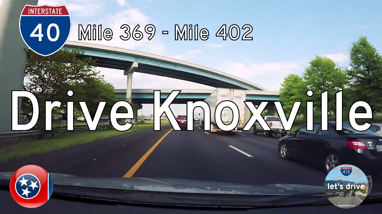
Take a smooth ride across the Tennessee Valley as we follow Interstate 40 from the western edge of Knoxville through the city’s core and out toward the quiet foothill communities near Midway. This 33-mile eastbound journey blends suburban growth, riverfront industry, and wooded ridges into one continuous corridor, reminding us why even a major interstate can reveal more nearby attractions than you’d think. As we roll in from the west just past the I-75 south split, the roadway widens and traffic thickens, signaling our approach into one of East Tennessee’s busiest metropolitan areas.
We ease into Farragut first, skirting the town’s mix of upscale neighborhoods and commercial centers. Here the junction with Interstate 140—the Pellissippi Parkway—opens the door to Oak Ridge and McGhee Tyson Airport. The terrain undulates gently, and pockets of woodland break up shopping districts and office parks. It’s a stretch where the roadside towns still offer plenty to explore, particularly if you’re curious about what’s around you. Just ahead, the suburban view begins to compress as we near the interchange with I-640 and I-75 north, a critical transfer point for anyone continuing toward Lexington or looping around Knoxville’s northern beltway. Even in fast-moving traffic, the Smokies linger faintly on the horizon, giving the city a distinct sense of place.
Entering Knoxville proper, we meet one of the interstate’s busiest sequences of interchanges. The flyovers and lane splits of US-129 (Alcoa Highway) rise above the river plain, guiding travelers toward downtown, the University of Tennessee, and the airport. A few miles ahead, the roadway approaches the tight, urban-feeling interchange with I-275 and US-441, a familiar connector for local commuters navigating between the riverfront, Broadway, and the city center. Despite the urban density, there’s an easy rhythm to the drive, and it’s one of those stretches where nearby overlooks and trails add to the trip—particularly if you plan to explore Knoxville’s waterfront parks or the revitalized districts near campus.
East of downtown, the city gradually transitions into older neighborhoods and industrial pockets. As we cross past US-11W, the roadside thins and the landscape begins opening into rolling ridgelines typical of the county’s eastern side. The second meeting with I-640, at its eastern terminus, provides one last loop-back option before the interstate commits to a more rural course. Here we also encounter the junction with US-25W/US-11E, a classic east Tennessee pairing that parallels early settlement routes across Jefferson and Sevier Counties. This is a part of the drive where travelers often find unexpected stops in these communities—small diners, farm markets, and historic crossroads left behind by pre-interstate travel patterns.
As we continue eastward, the highway becomes more relaxed. The traffic lightens, the forested slopes grow steeper, and the river valleys begin to fold in closer. This quieter edge of the Knoxville region offers a chance to settle into an easier pace, the kind of moment that pairs perfectly with plans for a Weekend Road Trip if you’re in long-haul mode. A few gentle curves guide us toward the Midway Road interchange—Exit 402—marking the eastern end of this segment. Development here is sparse but growing, with open pastures and wooded parcels framing the roadway. As we glide under the overpass and ease off the throttle, the city behind us feels miles away, replaced by a sense of transition toward Appalachia proper.
This drive may not be as mountainous as the terrain farther east, but it captures Knoxville’s full spectrum—from suburban bustle to urban interchanges to the first hints of the Blue Ridge. Traveling it in sequence reveals how quickly the Tennessee landscape can shift, and how seamlessly I-40 ties those layers together. Whether you’re crossing the state or staying local, this stretch stands as a defining gateway between river valley living and the mountains just beyond.
🎵 Additional Music:
Dead Drop by Kevin MacLeod is licensed under a Creative Commons Attribution license
🗺️ Route Map


0 Comments