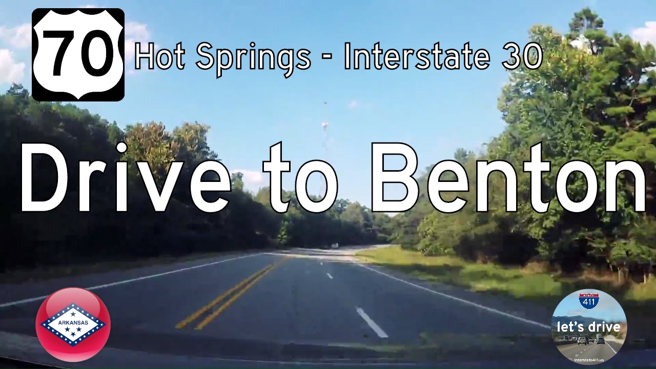
Take a nostalgic ride through central Arkansas as we follow a now-lost stretch of U.S. Route 70 from Hot Springs to Benton. Once a modest two-lane highway threading through the Ouachita foothills and rural landscapes, this 19-mile segment now exists only in memory and video archives—reborn as a modern four-lane slab. But in this journey, we retrace the original path, capturing the fading charm of old Route 70 before the upgrades swept it into a new era.
We begin our drive on the eastern edge of Hot Springs, just past the intersection with the Martin Luther King Expressway (US-70/US-270) bypass. As we roll eastward, the road carries us out of town with gentle curves and a relaxed pace. Even before the reconstruction, signs of change were evident—roadside businesses giving way to new development, and widened shoulders in anticipation of expansion. On this older alignment, however, the spirit of the highway lingered. Modest homes and scattered storefronts appeared between stretches of wooded parcels and the occasional pasture, hinting at the region’s blend of suburban growth and rural heritage.

Leaving the MLK Expressway behind, U.S. 70 quickly trades commercial bustle for quiet wooded stretches as we veer northeast into Saline County. The canopy thickens, and the terrain begins to undulate gently with the contours of the Ouachita foothills. Before its modernization, this segment of highway offered a personal, almost intimate experience—less about speed, more about soaking in the surroundings. The remnants of that era still show themselves in unexpected places: sloping driveways, bent mailboxes at gravel turnouts, and the occasional fishing pond just beyond the tree line. Around each bend, it felt like we were catching a glimpse of someone’s well-worn routine—be it a roadside church nestled among the pines or a family homestead just out of sight.
As we continue eastward, the landscape holds onto its rural character with dense woods and occasional clearings for homes, farms, and small churches. Lonsdale marks a subtle midpoint—not a hub of development, but a quiet waypoint with a few crossroads and the ever-present rhythm of the forest around it. It’s only as we approach the outskirts of Benton that the road begins to subtly hint at transition. Curves straighten, traffic thickens, and signs for suburban subdivisions start to appear—but even these remain sparse until we’re nearly at Interstate 30. The feeling of isolation slowly gives way to anticipation of rejoining modern infrastructure.
Finally, our journey ends as we approach the Interstate 30 interchange southwest of Benton. Modern infrastructure looms ahead, a striking contrast to the humble two-lane corridor we’ve followed. Today, drivers on this route benefit from expanded lanes, safer shoulders, and improved travel times—but they miss the quirks and contours of the original highway. This footage serves as a record of what once was—a time capsule capturing the waning days of a classic American route.
This segment of U.S. 70 is not just a road—it’s a reminder of how our landscapes evolve, how progress smooths over the rough edges, and how the character of a highway can be reshaped in concrete. For those who remember the original alignment, or are just now discovering it through archived journeys like this one, it remains a Lost Highway—a paved ribbon of Arkansas memory.
🗺️ Route Map


0 Comments