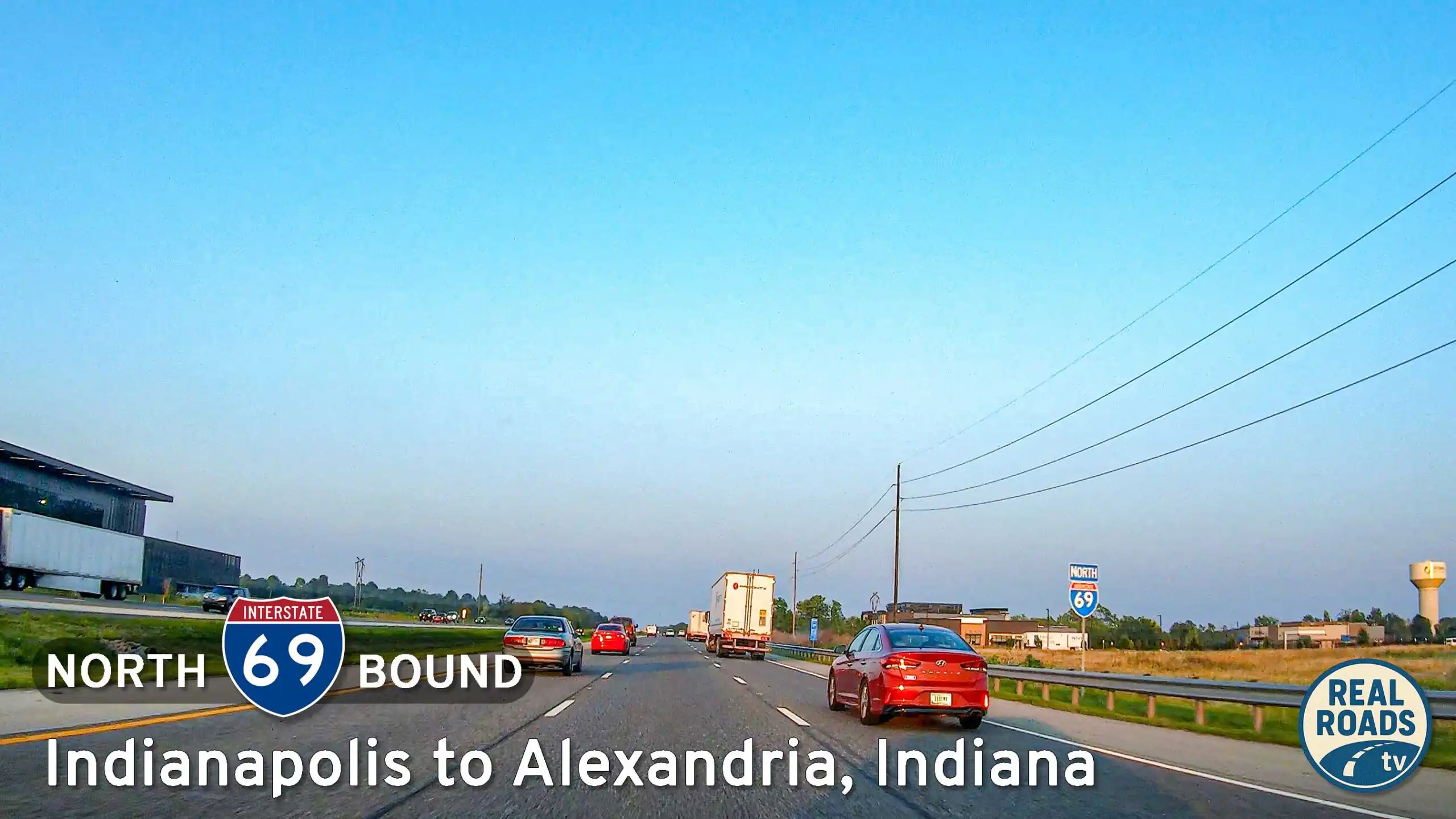
Interstate 69: Indianapolis to Alexandria, Indiana
Drive Interstate 69 from Indianapolis to Alexandria, Indiana, covering 50 miles of urban-to-rural transition through Hamilton and Madison counties, ending at the Pipe Creek Rest Area.
Interstate 69 is a unique and evolving highway that spans multiple disconnected segments across the United States, with long-term plans to connect Michigan to Texas. Originally established as a north–south route from Indianapolis, Indiana, to the Canadian border at Port Huron, Michigan, I-69 has since been extended in piecemeal fashion, particularly in the southern states as part of the "Corridor 18" of the National High Priority Corridor system. The completed northern section travels through cities like Lansing and Flint before crossing the Blue Water Bridge into Canada, continuing as Highway 402 in Ontario.
In the southern U.S., I-69 is being built in stages through states like Mississippi, Tennessee, Arkansas, Louisiana, and Texas. Some of these segments use existing highways upgraded to Interstate standards, while others are entirely new alignments. Notable portions include the I-69E, I-69C, and I-69W spurs in southern Texas, which will eventually be unified as construction progresses. As of now, these segments serve major cities such as Memphis, Shreveport, and Houston, and aim to enhance trade and freight mobility throughout the central U.S.
Despite being incomplete as a continuous route, Interstate 69 is a critical infrastructure project with strong economic and strategic value. When finished, it will provide a streamlined north–south corridor stretching from the Great Lakes to the Gulf of Mexico and the Mexican border. The project has faced funding and environmental challenges, but progress continues, with various segments opening every few years.
Drive Interstate 69 from Indianapolis to Alexandria, Indiana, covering 50 miles of urban-to-rural transition through Hamilton and Madison counties, ending at the Pipe Creek Rest Area.
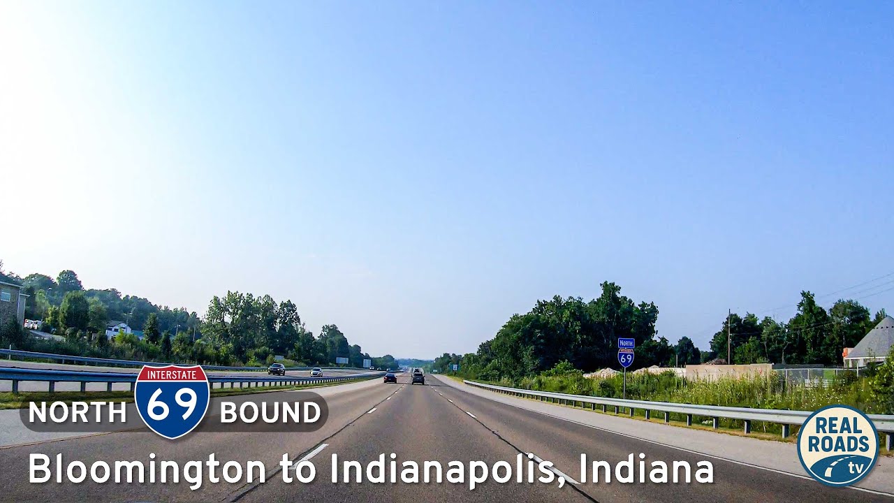
Drive north on Interstate 69 from Bloomington to Indianapolis, Indiana. This 48-mile journey transitions from wooded southern Indiana hills and farmland near Martinsville into the growing suburbs and urban core of Indianapolis, showcasing one of Indiana’s newest inter…
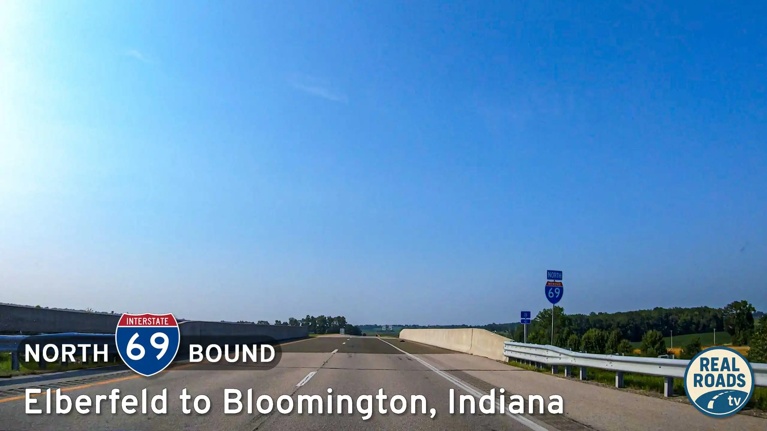
Drive north on Interstate 69 from Elberfeld to Bloomington, Indiana, following a modern 93-mile corridor that transitions from quiet southwestern farmland into the wooded hills of south-central Indiana.
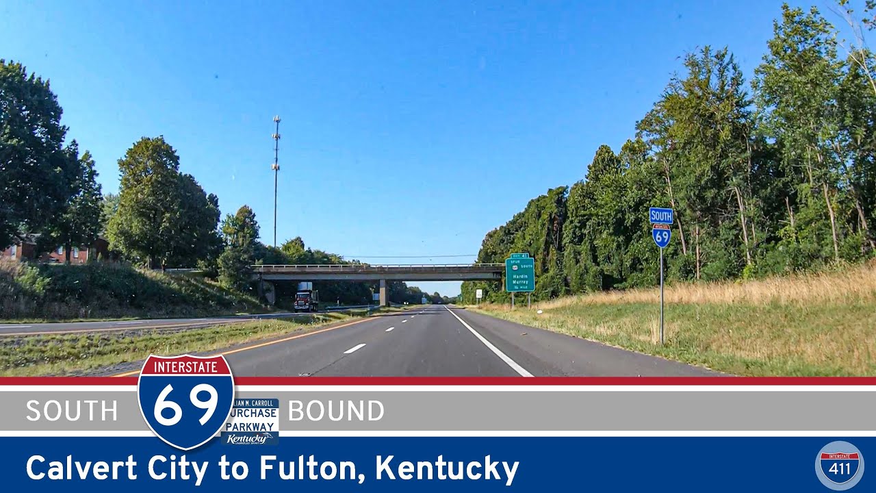
Experience a smooth 51-mile drive along Interstate 69 from Calvert City to Fulton, Kentucky, passing Benton, Mayfield, Wingo, and quiet stretches of western Kentucky farmland. A scenic look at the evolving I-69 corridor through the Jackson Purchase region.
![Interstate 69: Interstate 64 to Evansville – Indiana [Revisited]](https://realroads.tv/wp-content/uploads/2025/09/ipbohcyijqqmaxresdefault.jpg)
Follow Interstate 69 for 21 miles from the I-64 interchange to Evansville, Indiana. This detailed route narrative highlights rural farmland, suburban growth, and key junctions including IN-57, IN-66, and IN-662 before ending at U.S. 41 on Evansville’s south side.
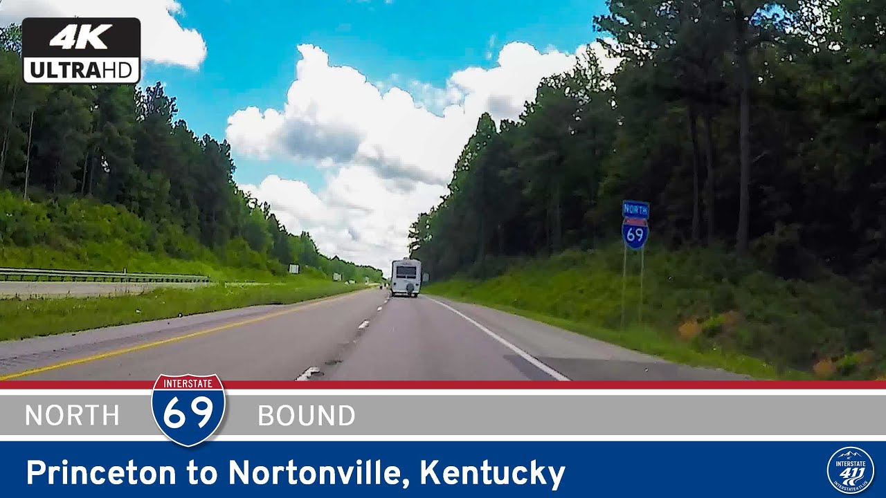
Cruise through western Kentucky on Interstate 69 from Princeton to Nortonville, a 29-mile stretch of highway blending scenic countryside with upgraded parkway infrastructure. Explore key junctions, quiet beauty, and a modern take on rural connectivity.
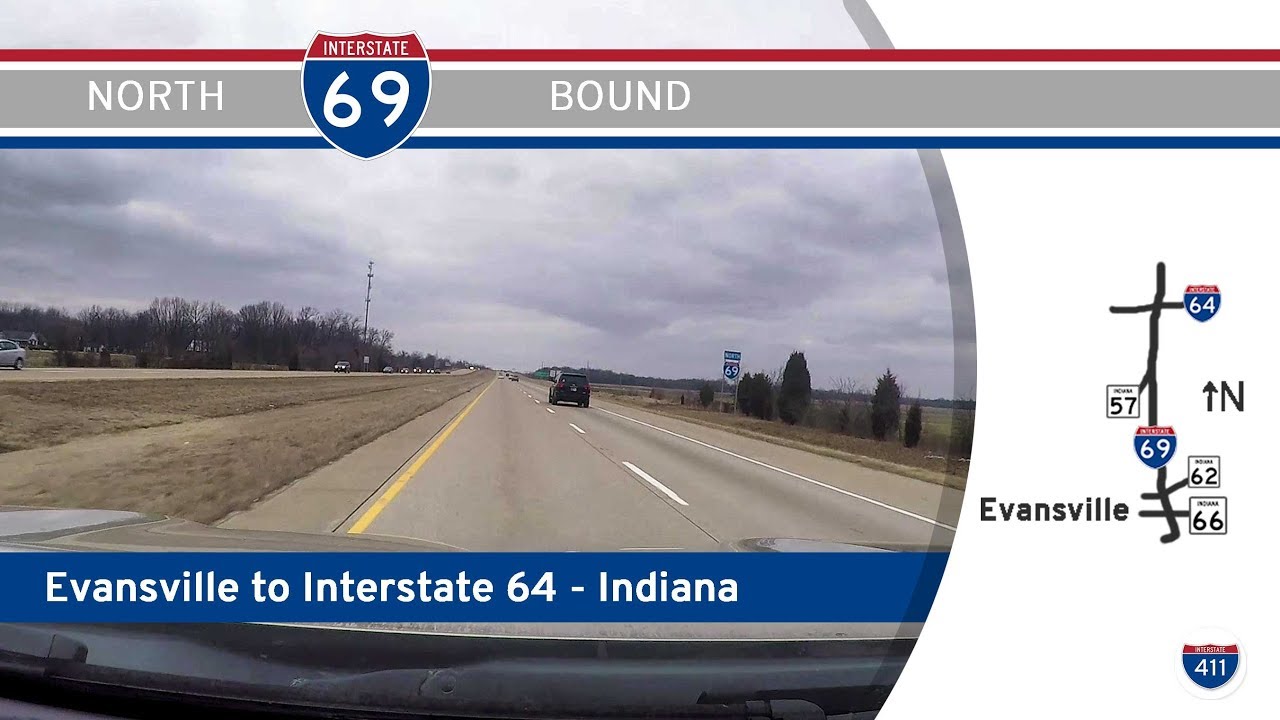
Take a quick ride along Interstate 69 from Evansville to Interstate 64 in southern Indiana. This 13-mile connector links the city to major east-west travel corridors, with views of farmland and key interchanges along the way.
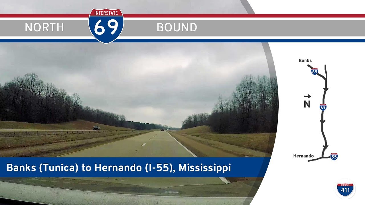
Cruise from the Delta to DeSoto County on Interstate 69 from Banks to Hernando, Mississippi. This 15-mile drive offers a scenic glimpse of the evolving I-69 corridor through farmland and into Memphis suburbia.

Take a short but significant ride down I-55 from Memphis to Hernando, Mississippi. This 9-mile drive connects suburban Southaven to rural Hernando, with stops near major retail, outlet shopping, and the junctions with I-69 and I-269.
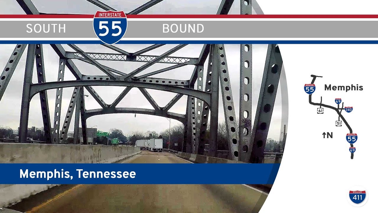
Take a drive along Interstate 55 southbound through Memphis, Tennessee, from the Mississippi River to the state line. Navigate historic interchanges, pass Graceland, and explore Memphis’s evolving highway landscape in this 15-mile journey.
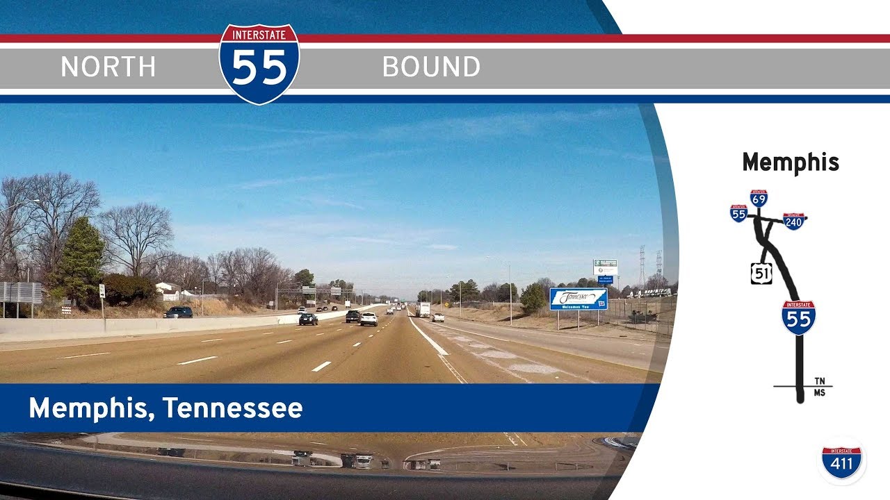
Cruise through Memphis on Interstate 55 from the Mississippi state line to I-240. This 6-mile stretch offers key connections to Graceland, downtown, and the Memphis Airport—highlighting the city’s role as a major Southern crossroads.
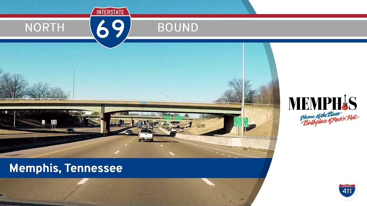
Explore the quirky and historically rich stretch of Interstate 69 through Memphis, Tennessee—still signed as I-240 but officially part of a national corridor. This 5.5-mile drive passes through Bunker Hill, near the Stax Museum, and ends at the I-40 interchange northe…
Be part of the adventure—help choose RealRoads.tv’s next big trip! Learn More