
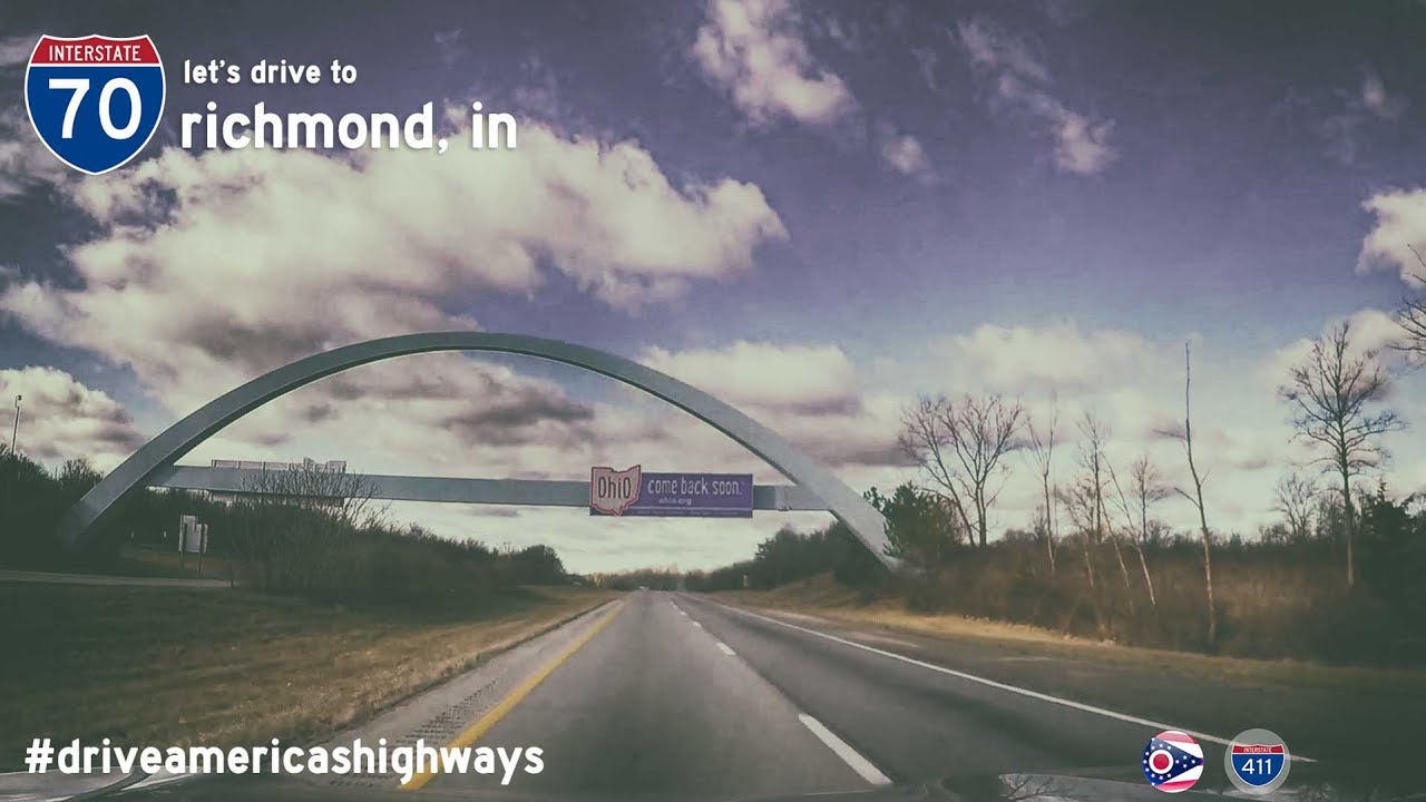
Take a fast-paced ride through the rural heart of eastern Indiana as we cruise westward along Interstate 70 from Richmond to Indianapolis. This 76-mile stretch begins at the Ohio state line and carries us across a tapestry of farmland, small-town junctions, and increasing urban energy as we near the capital. Though not as flashy as some interstates, I-70 here is a vital conduit—linking midwestern communities and commerce, all while subtly transitioning from pastoral quiet to metropolitan buzz.
Our journey begins just after crossing from Ohio, where U.S. Highway 40 (the Old National Road) parallels us through Richmond, one of Indiana’s historic gateways. As we merge onto I-70 westbound, the landscape quickly unfolds into the rural openness characteristic of the state’s eastern counties. Gentle swells of farmland, dotted with silos and aging barns, stretch toward the horizon. Towns like Cambridge City and Knightstown pass by with little fanfare, yet each one holds layers of Hoosier heritage. The road here is mostly straight and steady—ideal for covering ground quickly, yet tranquil enough for moments of reflection between exits.

As we press westward, the rhythm of the road remains steady, but the surroundings begin to subtly change. We pass New Castle, then the outskirts of Greenfield, where the fields grow patchier and signs of suburban growth appear more frequently. Here, modern developments intermingle with farmland—a clear signal that we’re nearing the gravitational pull of Indianapolis. Traffic density increases, interchanges become more complex, and the road widens slightly to accommodate the influx of commuters and through-travelers. The terrain remains relatively flat, but urban infrastructure—bridges, sound barriers, and commercial outposts—start to dominate the view.
Approaching Interstate 465, the loop that surrounds Indianapolis, we’re officially in metro territory. Though our path technically continues straight through, this interchange marks a major transition point. From here, the drive becomes less about landscape and more about navigation. High-speed merges, lane shifts, and a more aggressive driving culture accompany us into the inner city. Just beyond the beltway, Interstate 70 and Interstate 65 join forces for a short concurrency, guiding us into the dense heart of downtown. Skyscrapers, sports venues, and the unmistakable skyline of Indy peek through the overpasses. Within two quick miles, we reach the split: I-70 turns west, continuing toward the airport and points beyond, while we diverge south on Interstate 65, ending our recorded route just past the south junction.
It’s a fitting crescendo to a route that begins in quiet fields and ends in the pulse of a major American city. In that sense, this segment of I-70 captures something timeless: the evolving rhythm of the Midwest, where space and speed give way to density and motion. Whether you’re a long-haul trucker pushing through from coast to coast, or a commuter chasing the city clock, this stretch of highway keeps Indiana moving—linking past and present with every mile.
🗺️ Route Map


0 Comments