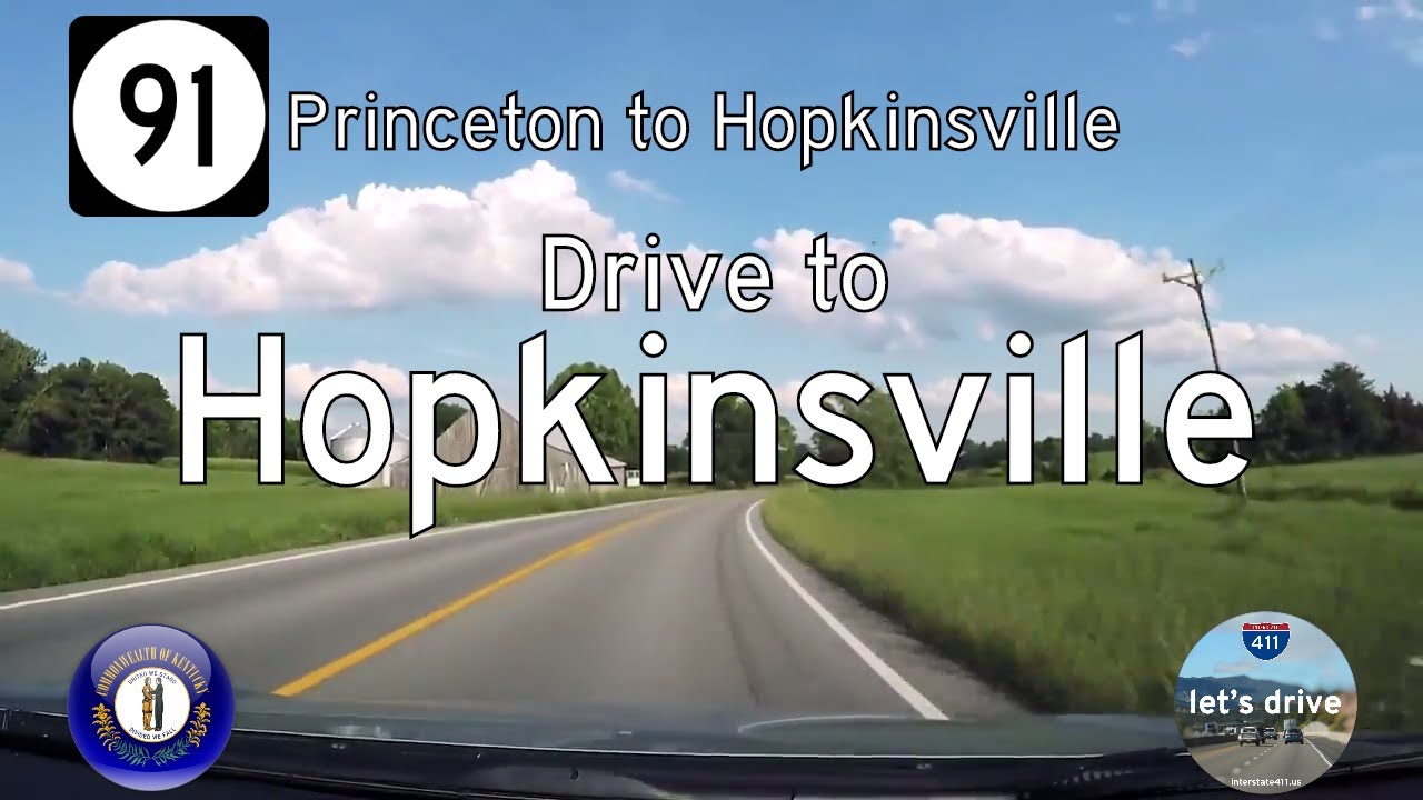
Take a scenic drive along Kentucky Route 91 from Princeton to Hopkinsville. Explore 27 miles of rolling farmland, charming small towns, and Kentucky backroad beauty.
The 🌾 Farmland tag identifies routes that pass through active agricultural areas, where fields, silos, barns, and tractors are common sights. These roads often wind through rural communities and showcase the day-to-day life of America’s working landscapes—whether it's rows of corn, wheat, soybeans, or pastureland dotted with livestock.
Travelers on farmland-tagged routes can expect a slower pace and a direct look at the country’s agricultural backbone. These drives frequently intersect with small towns, local markets, and seasonal roadside stands offering fresh produce or handmade goods.
Take a scenic drive along Kentucky Route 91 from Princeton to Hopkinsville. Explore 27 miles of rolling farmland, charming small towns, and Kentucky backroad beauty.
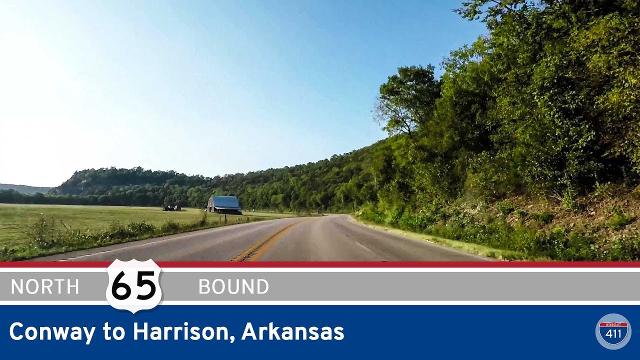
Take a scenic drive along U.S. Route 65 from Conway to Harrison, Arkansas. Explore the Ozarks, Buffalo River, and charming small towns on this classic Arkansas highway route.
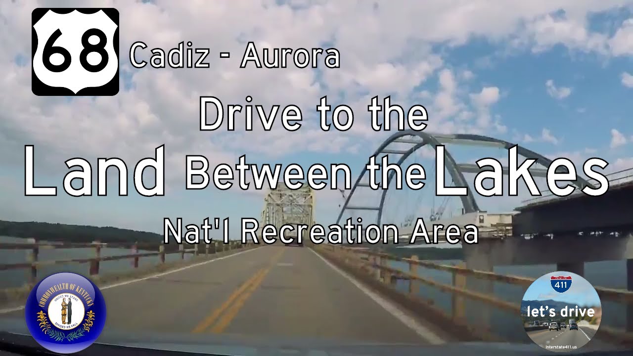
Take a scenic drive along U.S. Route 68 from Cadiz to Aurora, Kentucky. Explore 13 miles of rolling farmland, forested parkland, and lakeside beauty—including views of the old Lake Barkley Bridge before its replacement.
Take a scenic drive along Interstate 69 from Dawson Springs to Princeton, Kentucky, through peaceful woodlands and rolling hills, featuring light traffic, local history, and quick access to small-town attractions.
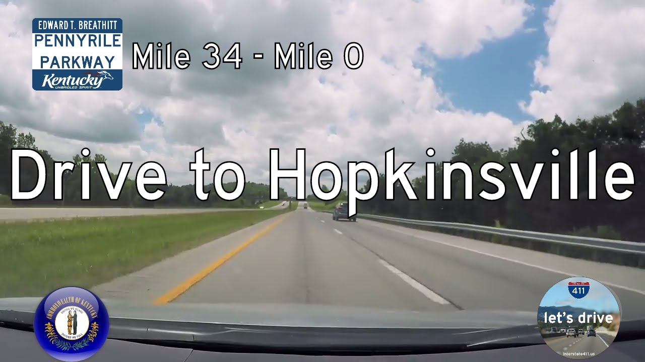
Take a peaceful drive through Kentucky’s countryside along Interstate 169 from Nortonville to Hopkinsville. This 34-mile route follows the historic Pennyrile Parkway, showcasing rural farmland and gentle hills of western Kentucky.
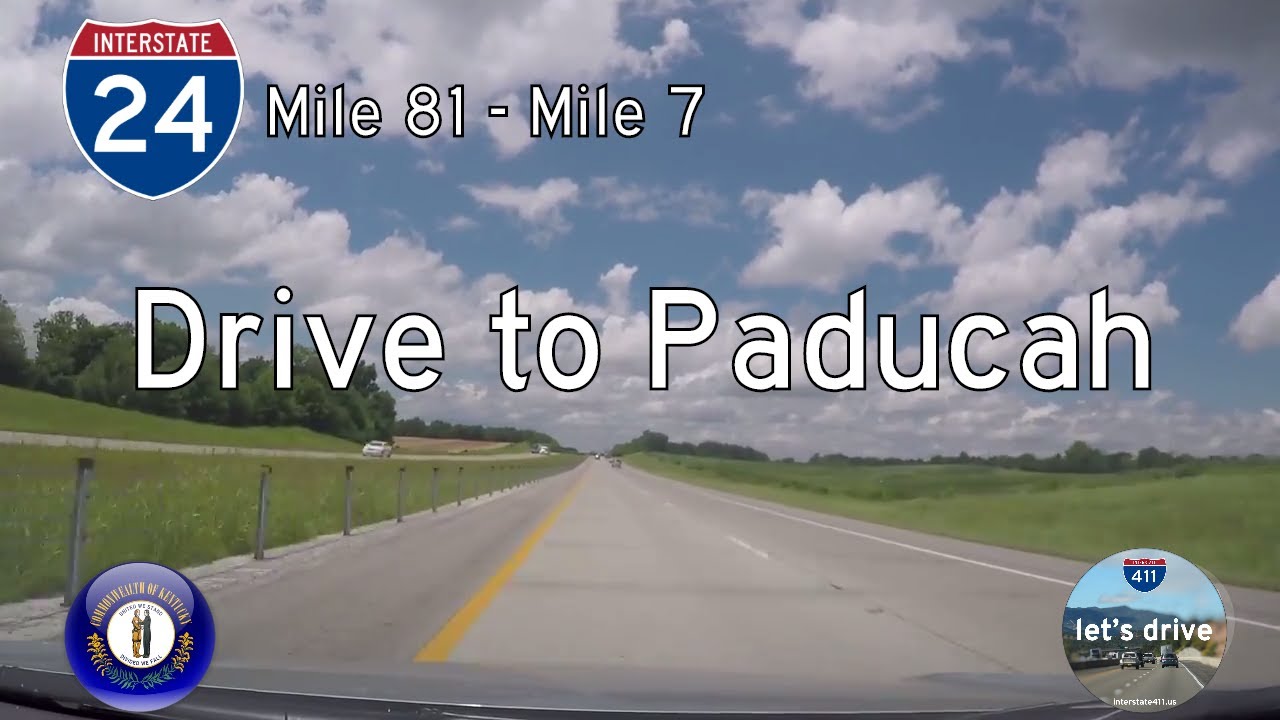
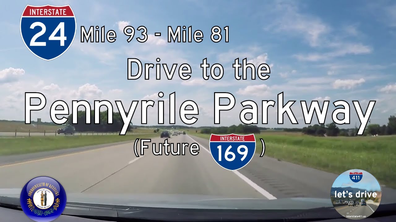
Take a 74-mile drive along Interstate 24 from Hopkinsville to Paducah, Kentucky. This scenic route connects farmland, industrial towns, and the Land Between the Lakes, tracing the historic transformation of Kentucky’s highway system.
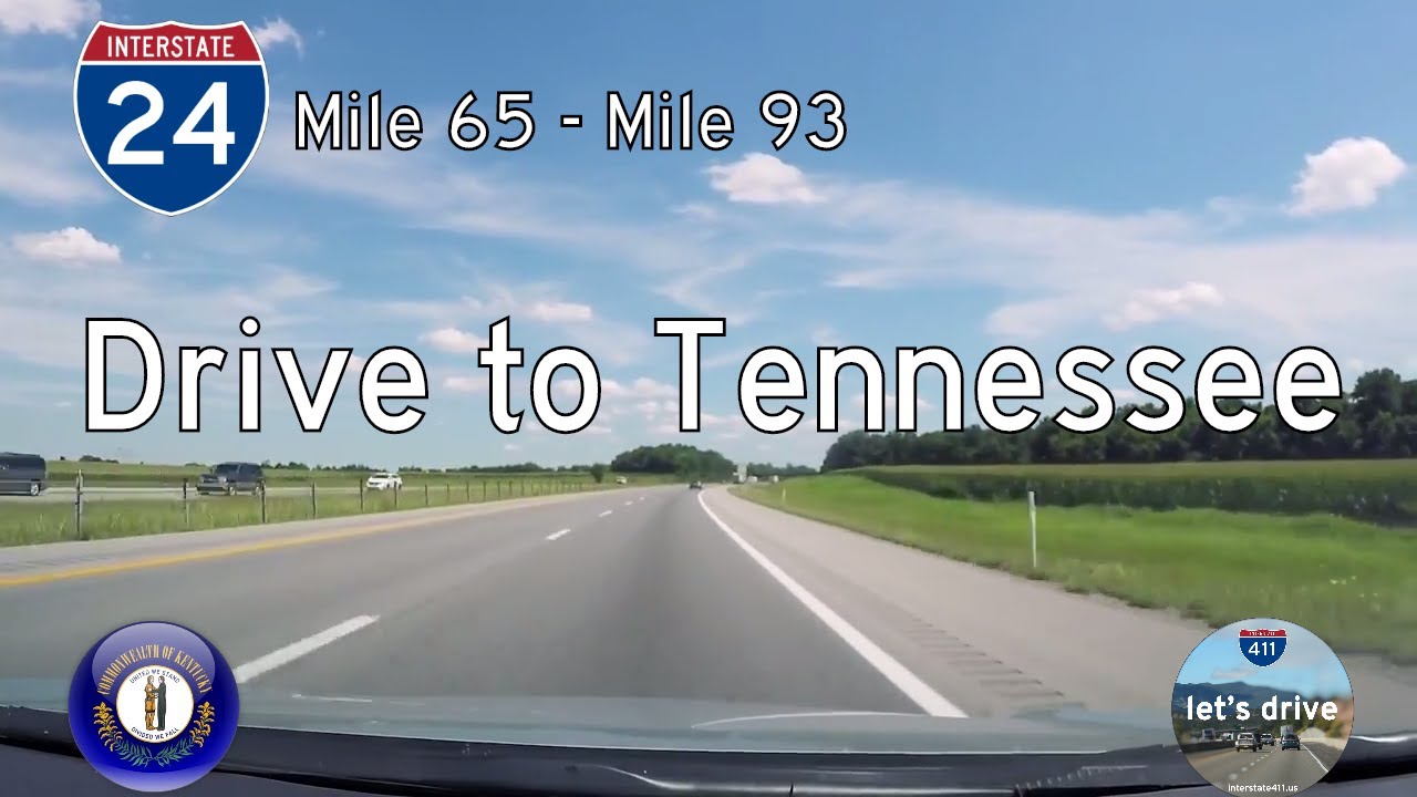
Drive 12 peaceful miles along Interstate 24 from Clarksville, Tennessee to Hopkinsville, Kentucky. This scenic stretch marks the transition between Middle Tennessee and rural western Kentucky, ending at the Pennyrile Parkway.
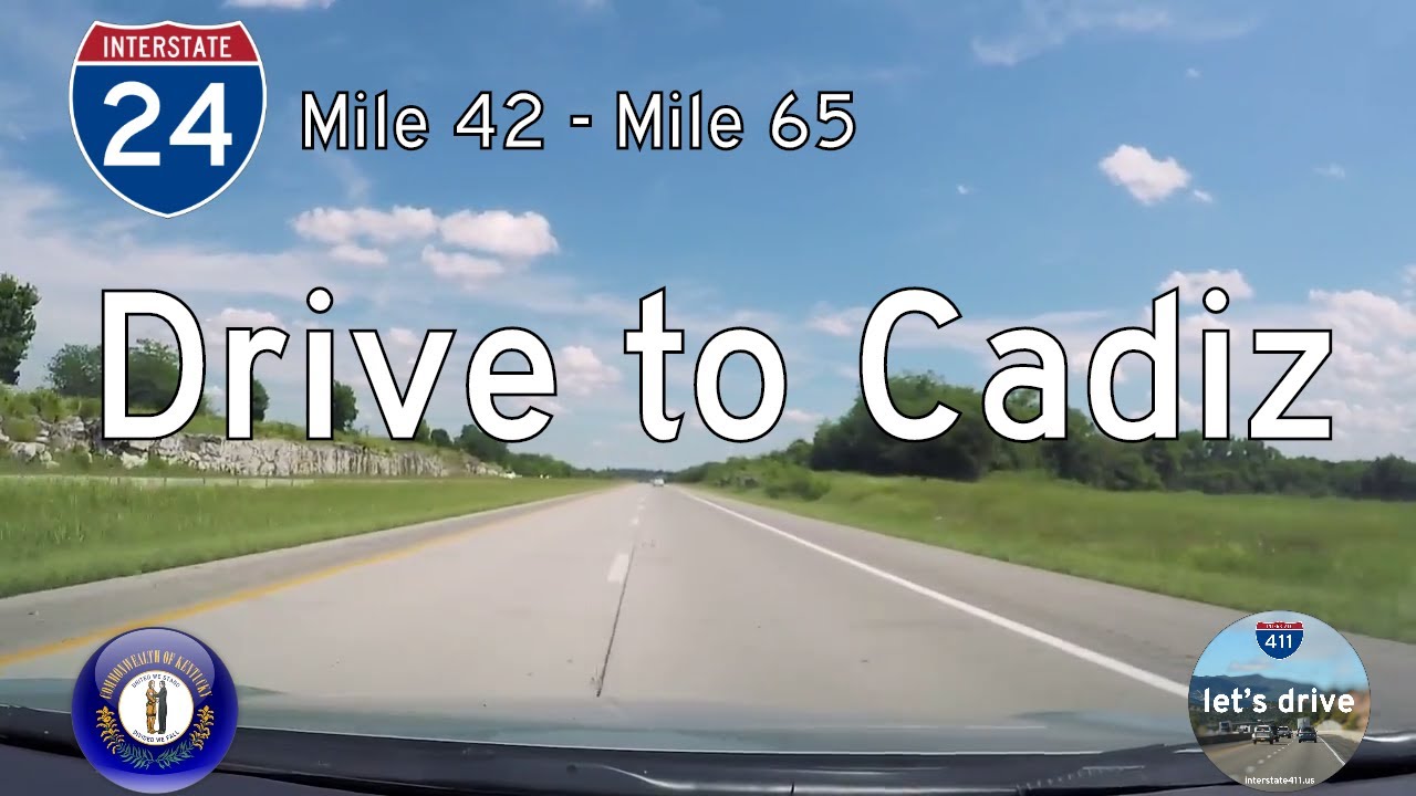
Travel 24 miles through Kentucky’s scenic lake country on Interstate 24 from Eddyville to Cadiz. Explore wooded landscapes, historic landmarks, and access to the Land Between the Lakes along this relaxed stretch of highway.
Drive Interstate 24 from Cadiz to the Tennessee state line in this 28-mile journey through Kentucky farmland and parkway interchanges. Explore the quiet beauty of western Kentucky before crossing into Clarksville.

Take a drive through Tennessee’s musical and historical heart along Interstate 40 from Jackson to Nashville. This 132-mile route passes battlefields, rivers, and rolling hills before entering the bustling streets of Music City.

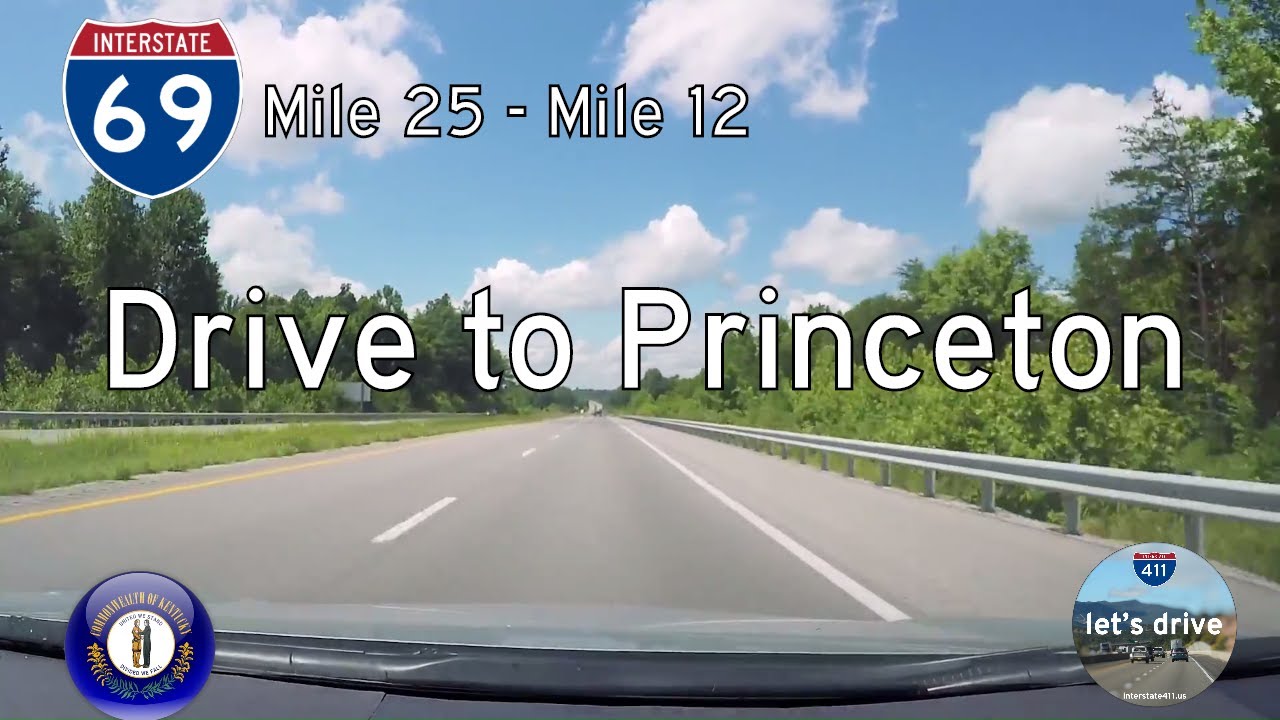
Drive 11 peaceful miles on Interstate 69 from Eddyville to Princeton, Kentucky. Follow this modern highway with roots in the Western Kentucky Parkway through wooded hills and open farmland as it transitions from I-24 to KY-91.
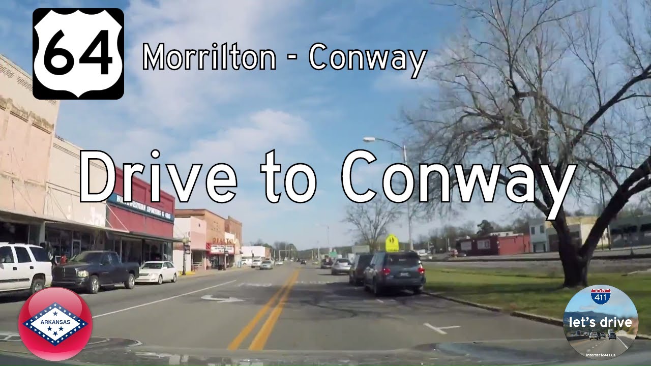
Take a relaxed drive along U.S. Route 64 from Morrilton to Conway, Arkansas. This 21-mile route passes through Plumerville and Menifee, showcasing small-town charm, farmland, and local history before arriving in Conway near Hendrix College and I-40.