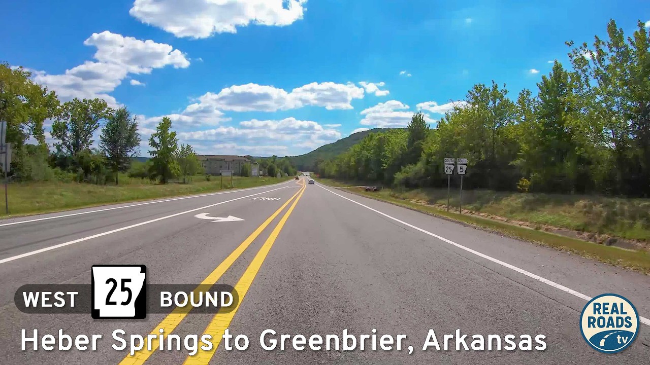
A 31-mile Ozark-foothills drive on AR-25 from Heber Springs to Greenbrier—past hay fields, hardwood ridges, and small-town main streets—ending at US-65 with valley views.
The 🌲 Forest tag highlights routes that pass through densely wooded areas, national forests, or timber-rich landscapes. These drives are often characterized by towering trees, shaded corridors, and a sense of immersion in nature. Whether it’s a winding mountain road lined with evergreens or a backcountry highway flanked by deciduous woods, the forested environment defines the scenery.
These routes are especially vibrant in autumn, when foliage changes color, or in the spring and summer, when greenery is at its peak. Wildlife sightings, hiking trail access, and picnic areas are common features along many forest-tagged segments.
A 31-mile Ozark-foothills drive on AR-25 from Heber Springs to Greenbrier—past hay fields, hardwood ridges, and small-town main streets—ending at US-65 with valley views.
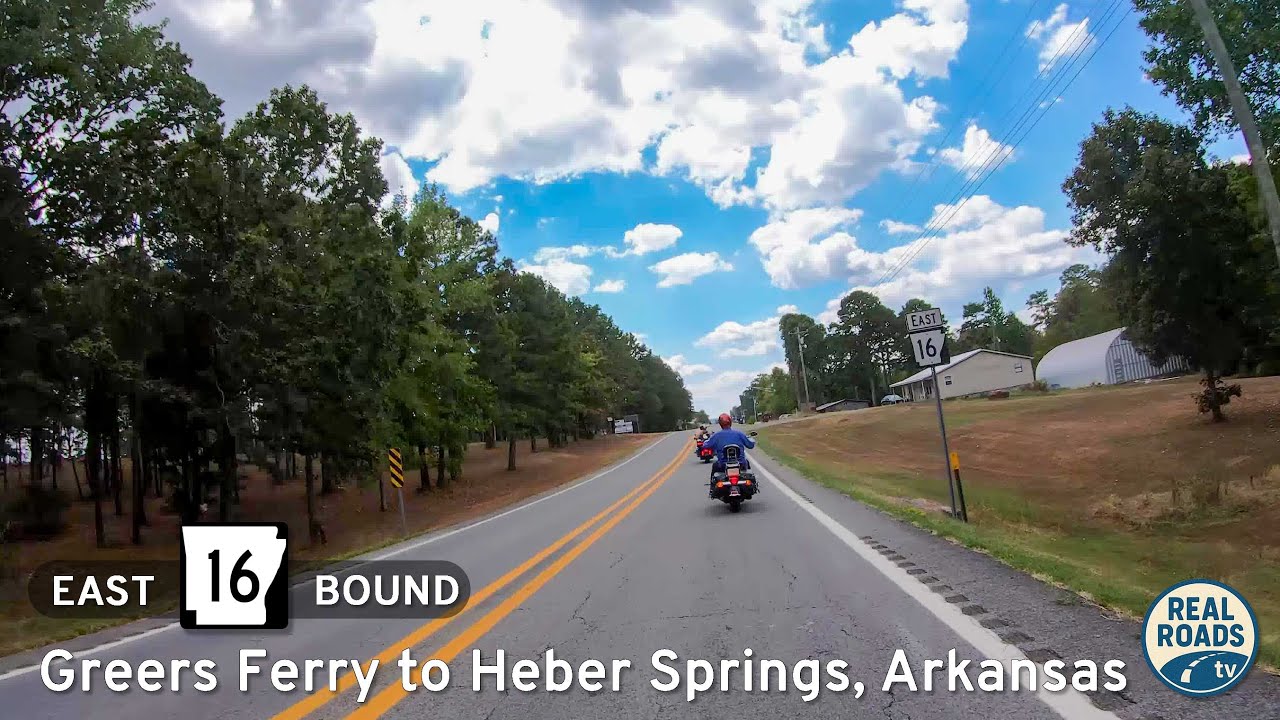
Cruise Arkansas Highway 16 from Greers Ferry to Heber Springs—a 22-mile lake-to-town drive of wooded ridgelines, fleeting Greers Ferry Lake views, and a welcoming finish near the Little Red River. Highlights include Devils Fork Recreation Area, Heber Springs’ trout-…
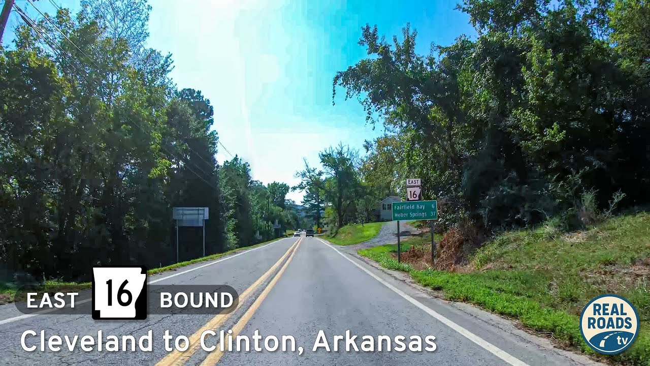
Drive 22 scenic miles on Arkansas Highway 16 from US-65 in Clinton to Devils Fork Recreation Area at Greers Ferry Lake. Follow a first-person travelogue through Ozark ridges, pine-hardwood forest, and lake-view curves—with local tips and an interactive map.
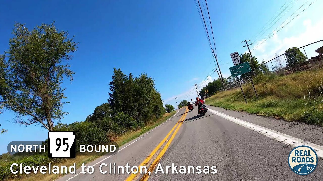
Drive 24 miles on Arkansas Highway 95 from the AR-124 junction south of Cleveland to US-65B in Clinton. Enjoy Ozark-foothill scenery, rolling ridges, creek crossings, and rural communities on a smooth, two-lane route through Conway and Van Buren counties.
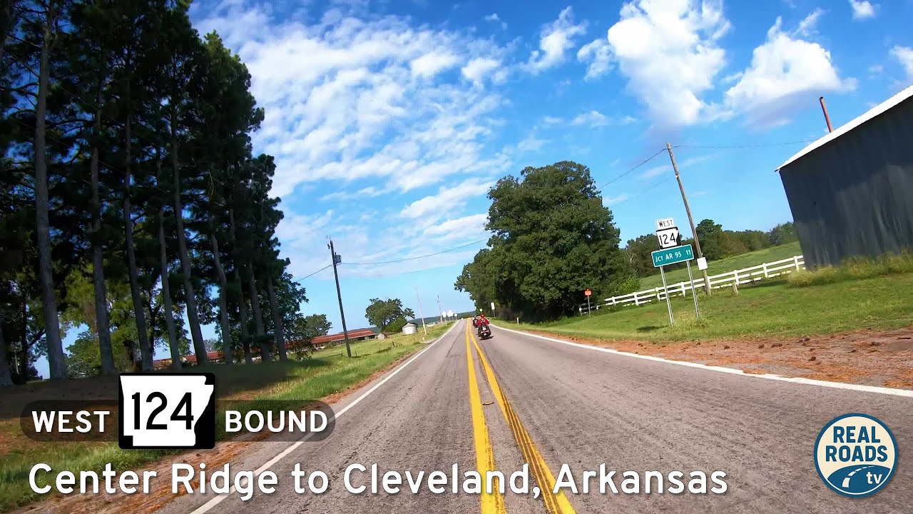
Cruise west along Arkansas Highway 124 from Center Ridge to Cleveland — a peaceful 11-mile drive through the wooded hills and farmland of Conway County, Arkansas, showcasing the timeless beauty of rural Ozark foothills.
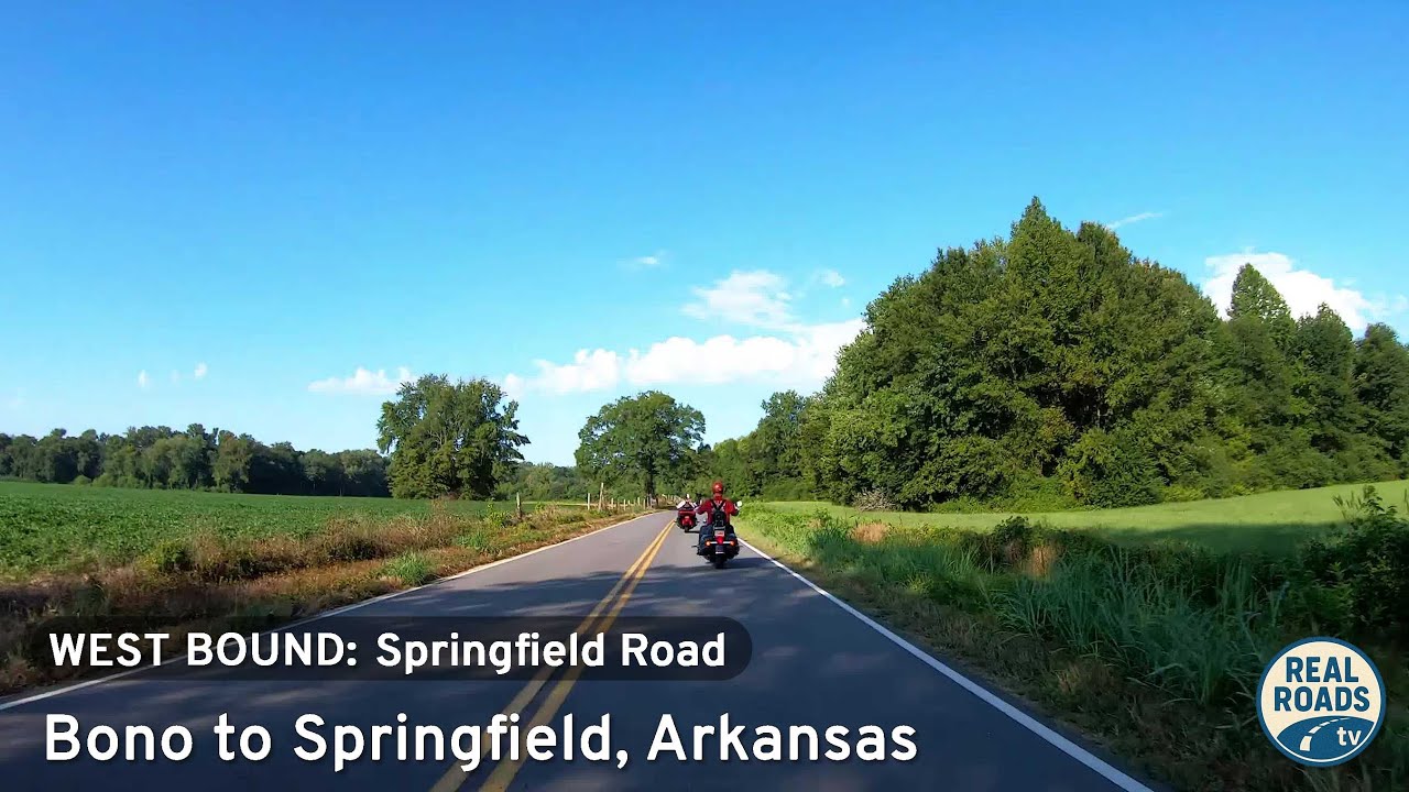
Cruise five scenic miles along County Road 9 from Bono to Springfield, Arkansas. Experience Conway County’s blend of farmland, forest, and rolling Ozark foothills on this tranquil rural backroad connecting AR-285 and AR-92.
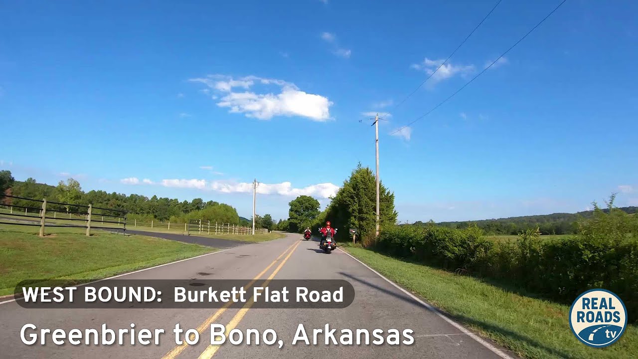
Experience a peaceful 4.6-mile drive along Burkett Flat Road from Greenbrier to Bono, Arkansas. This quiet rural route passes farmland, wooded ridges, and rolling hills in Faulkner County, offering a glimpse of authentic Arkansas countryside.
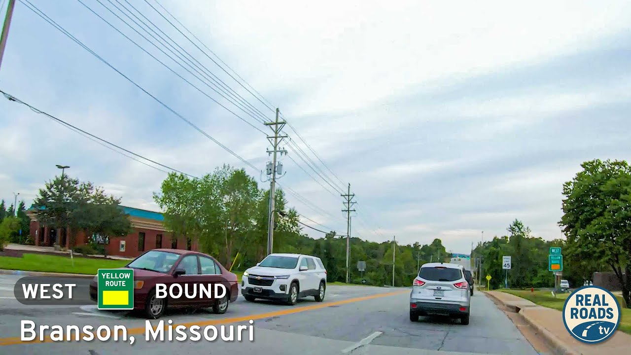
Take a short drive down Branson’s Yellow Route along James F. Epps Road. From Shepherd of the Hills Expressway to Roark Valley Road, this 1.2-mile connector passes schools, shopping, Stockstill Park, and Roark Creek—capturing both the community and scenic side of th…
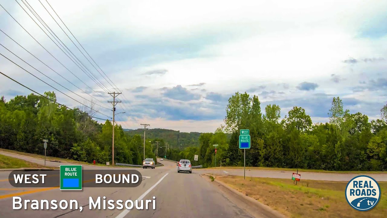
Explore Branson’s 3.5-mile Blue Route, a quick bypass from Roark Valley Road to Gretna Road that blends Ozark scenery with easy access to theaters, shops, and attractions—all without the congestion of 76 Country Boulevard.
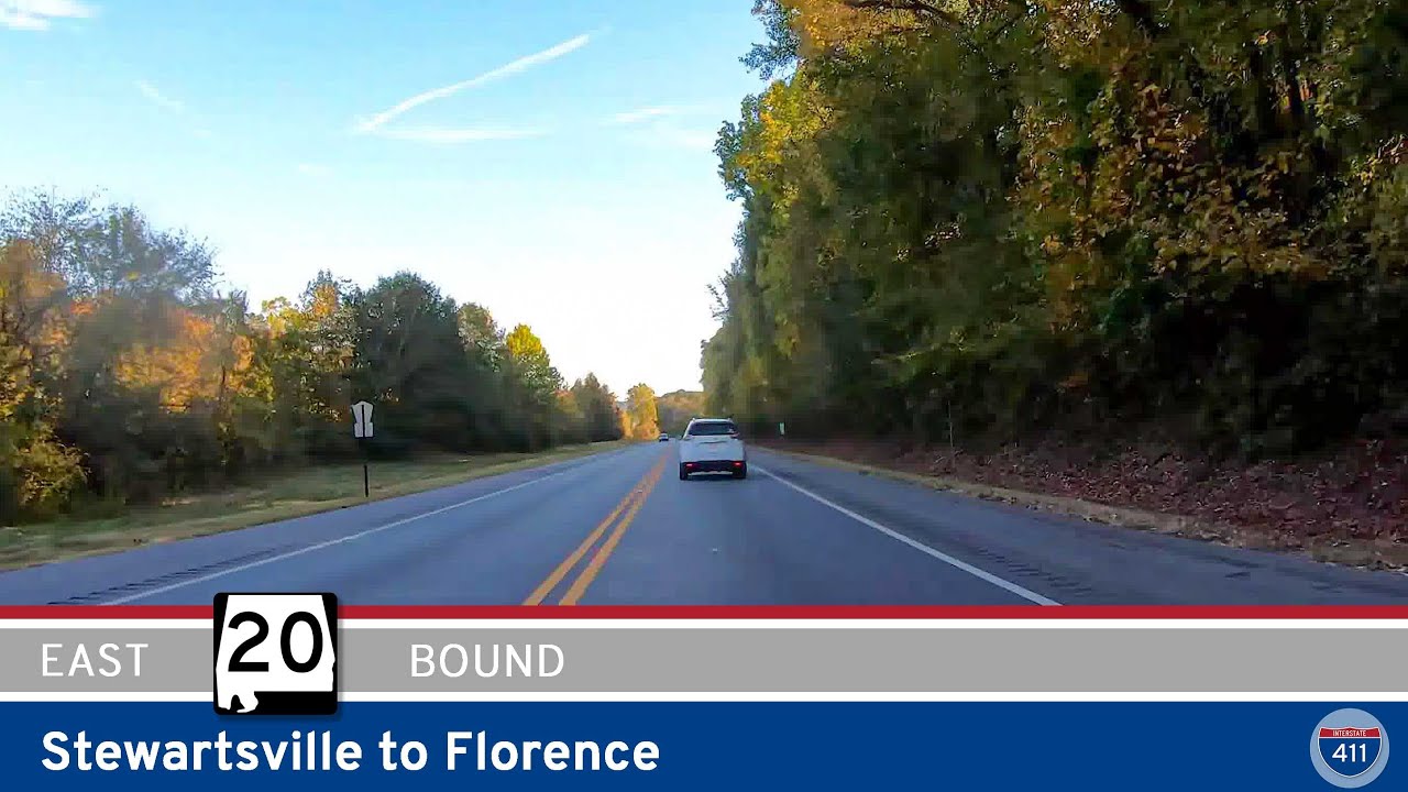
Experience a peaceful 14-mile drive along Alabama Route 20 from Stewartsville to Florence, moving from wooded Natchez Trace landscapes to rolling farmland and the busy urban gateway of the Shoals. A short but scenic look at the Tennessee Valley’s changing terrain.
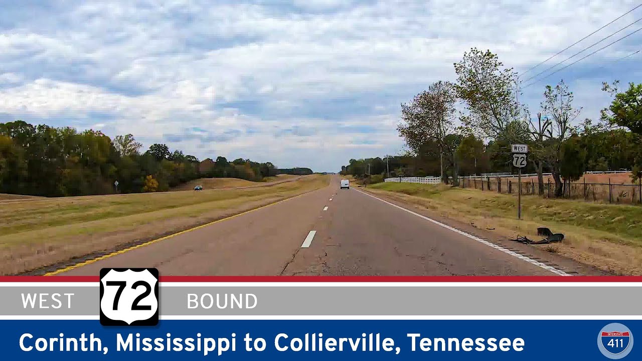
Drive 65 miles west on U.S. Route 72 from Corinth, Mississippi to Collierville, Tennessee, passing farmland, rural communities, and the expanding suburbs of the Memphis metro. A smooth four-lane corridor connecting the Tennessee Valley to the edge of the city.
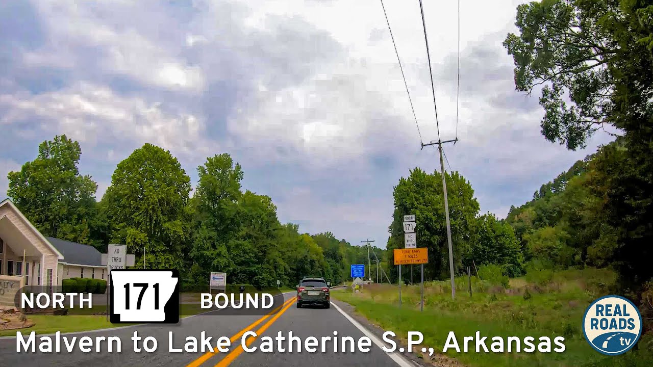
Drive 12 miles along Arkansas Highway 171 from Malvern to Lake Catherine State Park, a scenic route through farmland and forests that connects small-town Arkansas with one of the Ouachitas’ most inviting recreation areas.