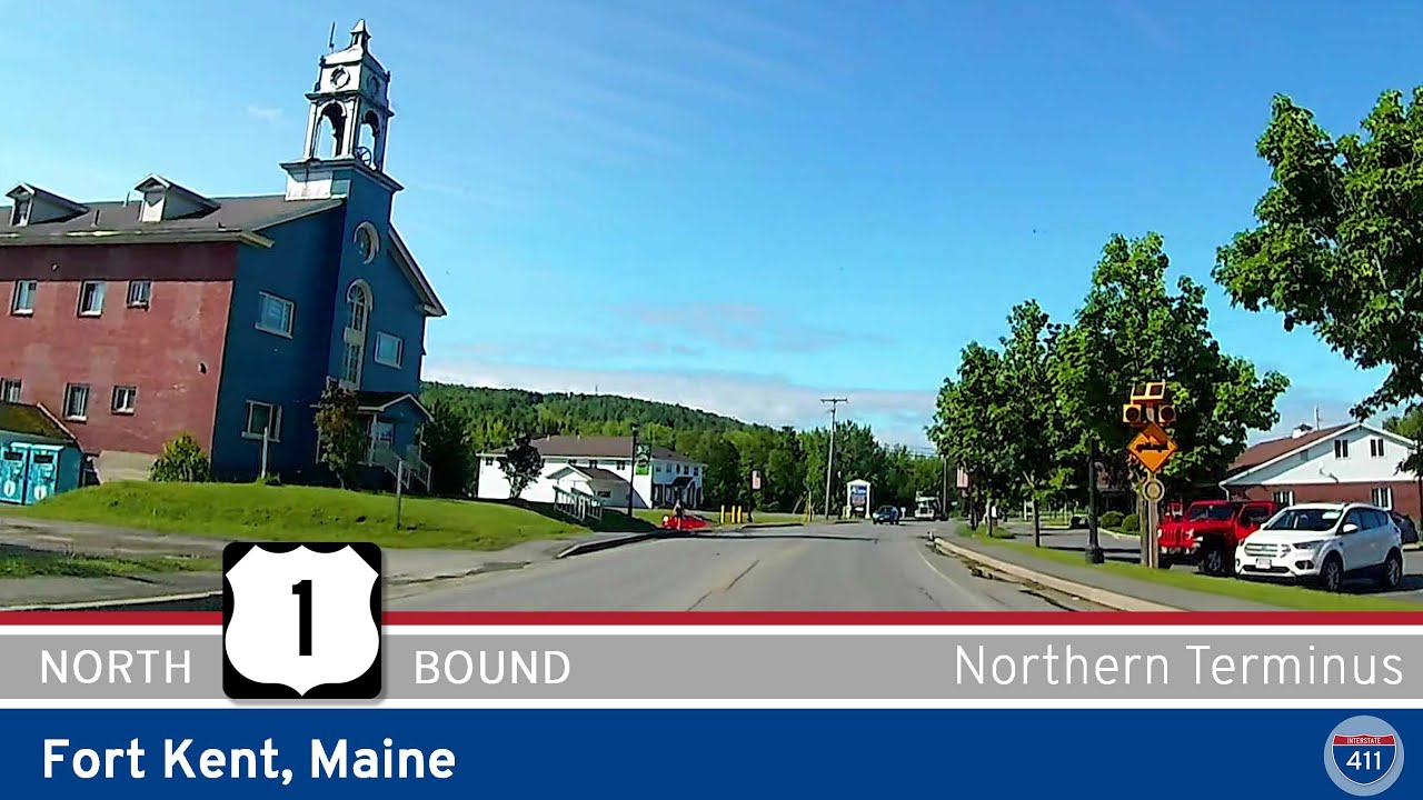
Discover the northernmost mile of U.S. Route 1 in Fort Kent, Maine — a scenic short drive across rivers, historic sites, and the international bridge connecting the U.S. and Canada. Perfect for highway fans and border town explorers alike.
The 🛣️ Scenic Route tag is reserved for highway segments known for their visual appeal and memorable landscapes. These are the drives that invite you to slow down, roll the windows down, and take it all in—whether you're surrounded by snow-capped mountains, winding through a canyon, hugging a coastal cliff, or coasting across rolling farmland. A route earns this tag not for its efficiency, but for its beauty, character, and ability to turn an ordinary trip into an experience.
Scenic routes vary widely in terrain and setting. In the Pacific Northwest, a scenic highway might weave through dense conifer forests with mist rising from the treetops. In the Southwest, it could mean miles of desert accented by red rock formations and wide-open skies. In the Midwest, a scenic road might stretch past prairie grasses and grain silos under an endless sky, while the East might feature tree-covered parkways that blaze with autumn color. Regardless of the region, a scenic tag indicates a road that offers something more than the usual commute—it delivers atmosphere and a sense of place.
These routes are often less direct than their bypass counterparts, with more curves, elevation changes, and natural features. They may pass through parks, along rivers, past historic landmarks, or into remote wilderness. While some scenic highways are part of official designations—like National Scenic Byways or state tourism trails—others earn the tag simply through reputation and traveler consensus. Many scenic routes also include well-placed overlooks, rest stops, or interpretive signs to help visitors fully appreciate the surroundings.
Discover the northernmost mile of U.S. Route 1 in Fort Kent, Maine — a scenic short drive across rivers, historic sites, and the international bridge connecting the U.S. and Canada. Perfect for highway fans and border town explorers alike.
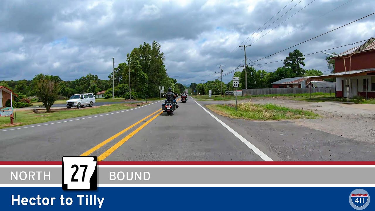
Explore a peaceful 25-mile drive through the Ozark National Forest on Arkansas Highway 27 from Hector to Tilly. Experience winding roads, forested hills, and quiet mountain scenery deep in rural Arkansas.
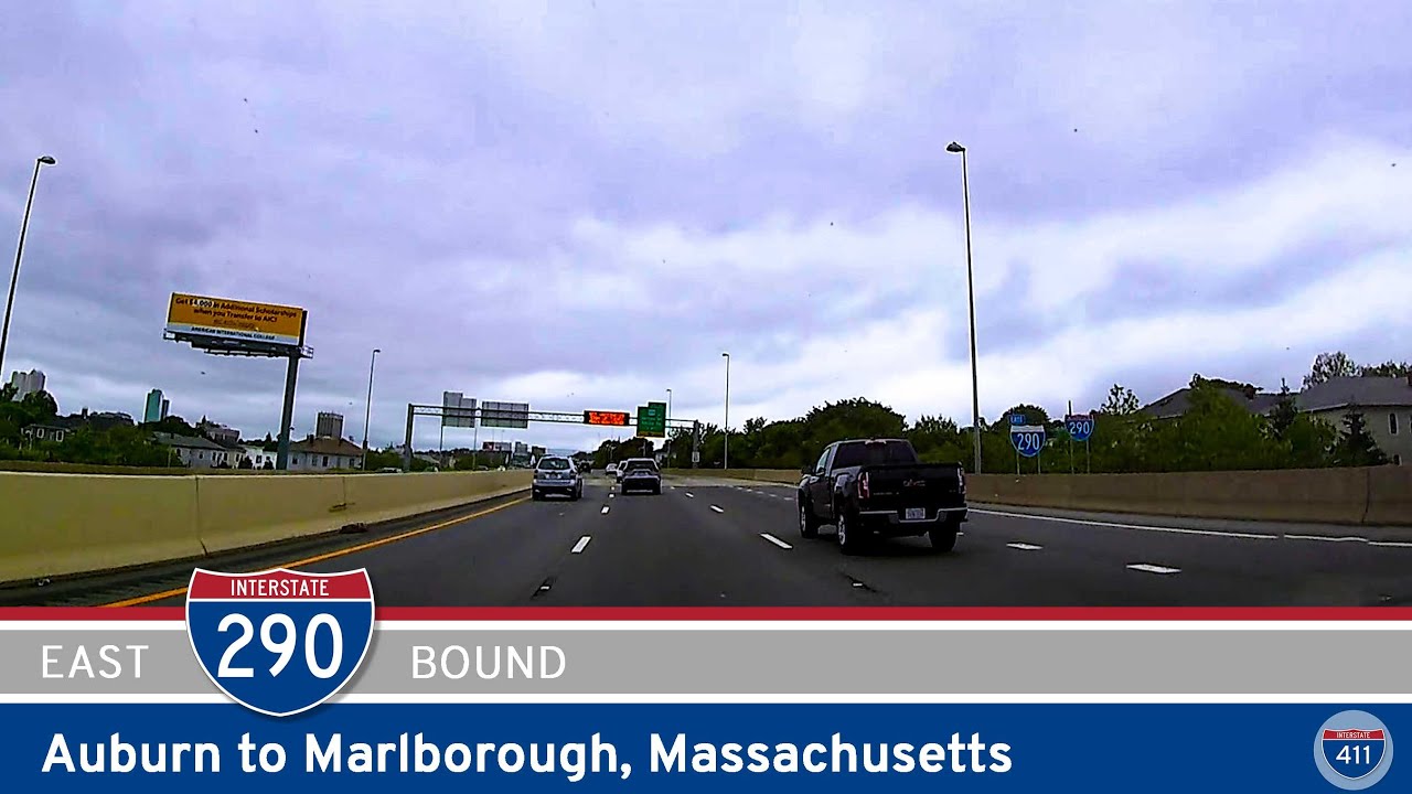
Drive 21 miles east on Interstate 290 from Auburn to Marlborough, Massachusetts, passing through Worcester’s urban core, crossing Lake Quinsigamond, and cruising wooded hills before connecting with Interstate 495. A convenient link blending city and scenic New England…
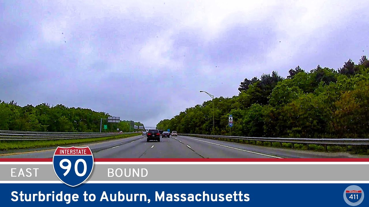
Cruise 12 miles east along the Massachusetts Turnpike from Sturbridge to Auburn. This smooth stretch of I-90 links I-84 with Worcester County, offering a quiet, wooded ride and easy access to central Massachusetts towns.
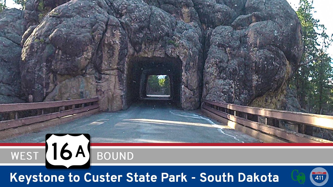
Drive 17 scenic miles along South Dakota’s U.S. Highway 16A (Iron Mountain Road) from Keystone to Custer State Park. Enjoy hairpin curves, historic tunnels, wildlife, and breathtaking Black Hills scenery
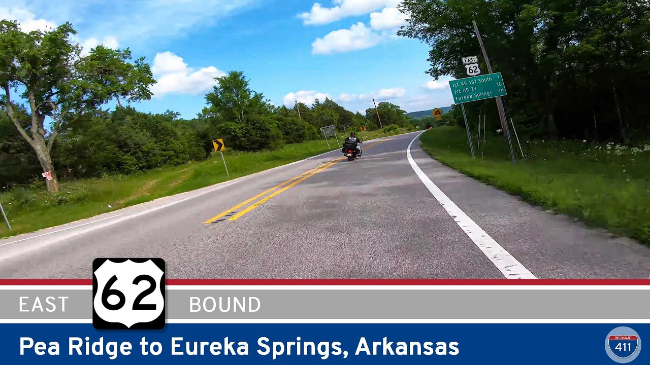
Drive 24 scenic miles along U.S. Highway 62 from Pea Ridge National Military Park to the historic mountain town of Eureka Springs. Enjoy Ozark forests, winding curves, and peaceful river crossings along the way.
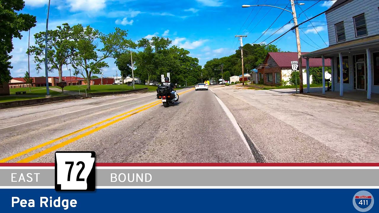
Cruise along Arkansas Highway 72 for five historic miles through Pea Ridge and the Pea Ridge National Military Park. This short, scenic drive blends local history, quiet country roads, and a glimpse into one of the best-preserved Civil War battlefields in the Ozarks.

Cruise along Arkansas Highway 94 for 6 miles from Bella Vista to Pea Ridge. Experience a peaceful drive through tree-lined residential areas, open countryside, and the historic charm of Pea Ridge — gateway to northwest Arkansas’s Civil War history and Ozark scenery.
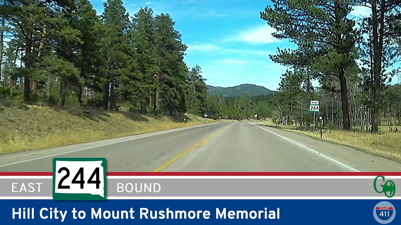
Cruise 9 scenic miles east along South Dakota Highway 244 from Hill City to the Mount Rushmore National Memorial. Enjoy dense forests, the tranquil Horsethief Lake, and classic Black Hills mountain views on this unforgettable approach to America’s Shrine of Democracy.
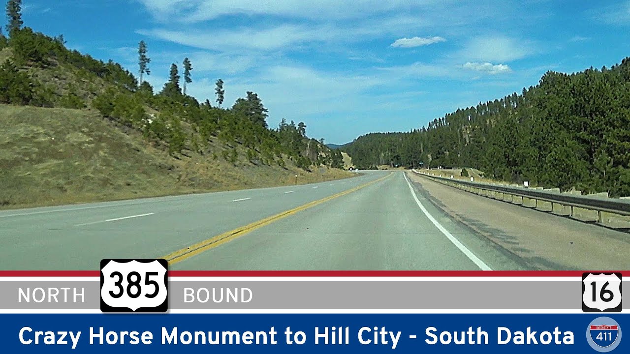
Cruise 6 scenic miles through South Dakota’s Black Hills on U.S. Highway 385, from the Crazy Horse Memorial to Hill City. Discover granite peaks, pine forests, and a gateway to Mount Rushmore and Custer State Park.

Take a short but scenic ride along Missouri Supplemental Highway H from Noel to Pineville. Follow Kings Highway through the wooded Elk River valley and connect to I-49 for more Ozark exploration.
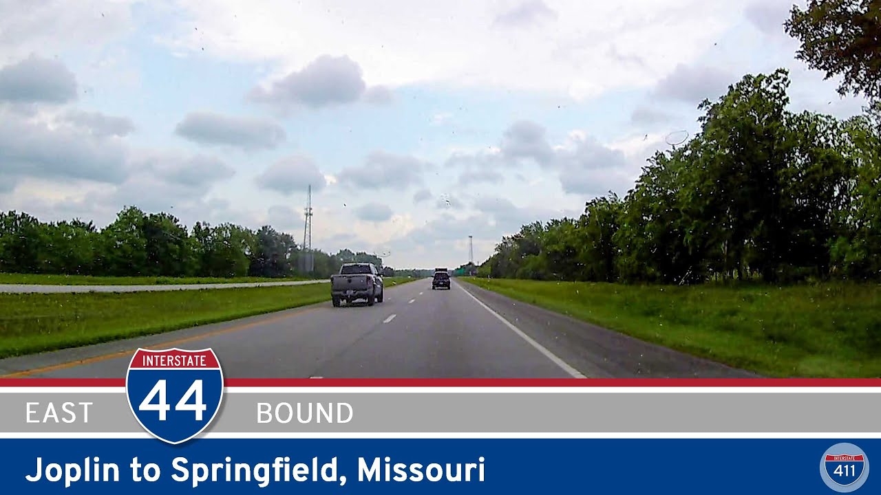
Cruise 71 miles east along Interstate 44 from Joplin to Springfield, Missouri. Enjoy scenic Ozarks landscapes, small-town stops, and a dash of Route 66 history on this classic southwest Missouri highway drive.