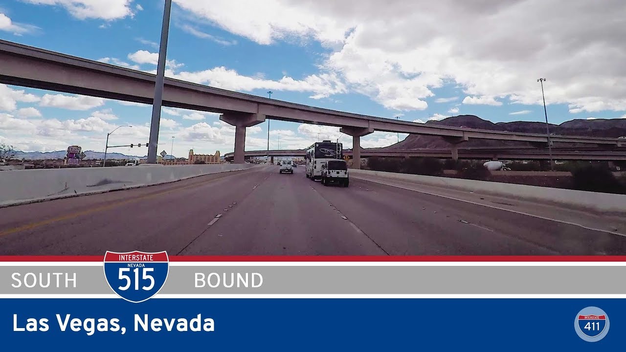
Explore Interstate 11 in Las Vegas, Nevada, as we drive 21 miles south from I-15 near downtown Las Vegas through Henderson to Railroad Pass. Formerly I-515, this scenic urban bypass connects the Las Vegas metro to southern Nevada’s desert corridor.
The 🏙️ Urban Route tag is applied to highways and road segments that pass through major metropolitan areas or densely populated cities. These routes are characterized by busy traffic patterns, multi-lane interchanges, skyline views, and close proximity to residential, commercial, and industrial zones.
Urban routes often serve as vital connectors within a city’s infrastructure, linking downtown districts to suburbs, airports, or regional transit hubs. They may include elevated sections, tunnels, or complex junctions, and are frequently surrounded by signage, sound barriers, and city landmarks.
Explore Interstate 11 in Las Vegas, Nevada, as we drive 21 miles south from I-15 near downtown Las Vegas through Henderson to Railroad Pass. Formerly I-515, this scenic urban bypass connects the Las Vegas metro to southern Nevada’s desert corridor.
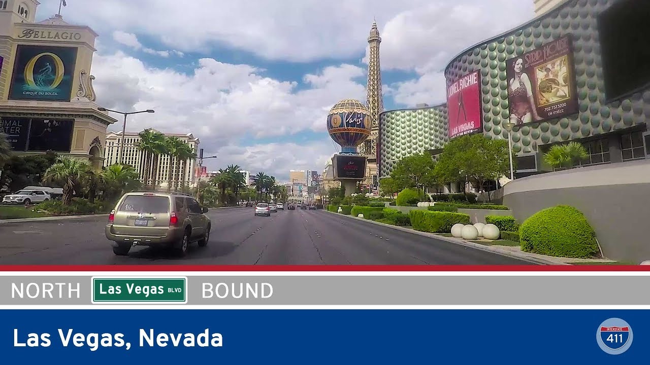
Cruise six iconic miles down Las Vegas Boulevard from Tropicana Ave to Clark Ave, passing world-famous resorts, neon lights, and the evolving urban landscape from the Strip to downtown Vegas.
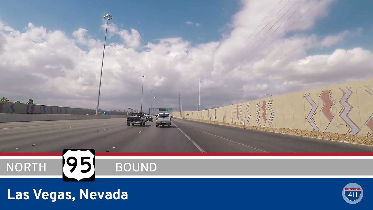
Drive Interstate 11 for 4 miles through Las Vegas, Nevada, from Interstate 15 to Jones Blvd. Formerly part of US-95, this segment was redesignated as I-11 on December 9, 2022.
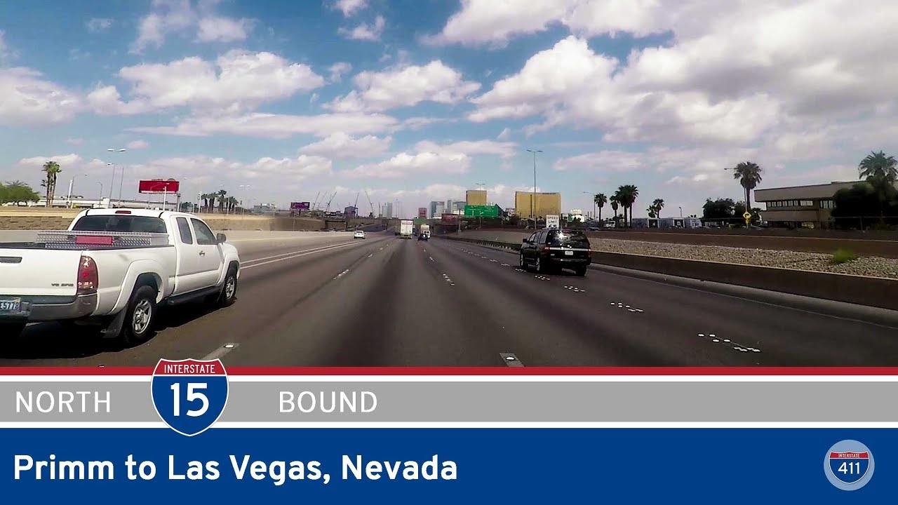
Take a 42-mile journey up Interstate 15 from Primm to downtown Las Vegas, Nevada. Follow our drive through the Mojave Desert, past Sloan Canyon and the Las Vegas Strip, ending at the Interstate 11 interchange.
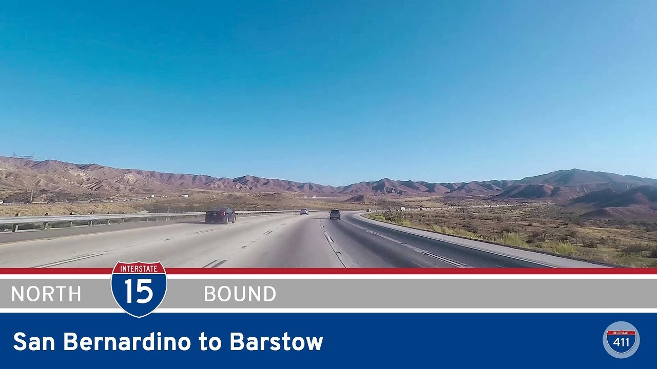
Take a scenic drive from San Bernardino to Barstow along California’s I-15. Climb the Cajon Pass, cruise through the Victor Valley, and enter the Mojave Desert on this 53-mile high desert journey through history, logistics, and classic California landscapes.
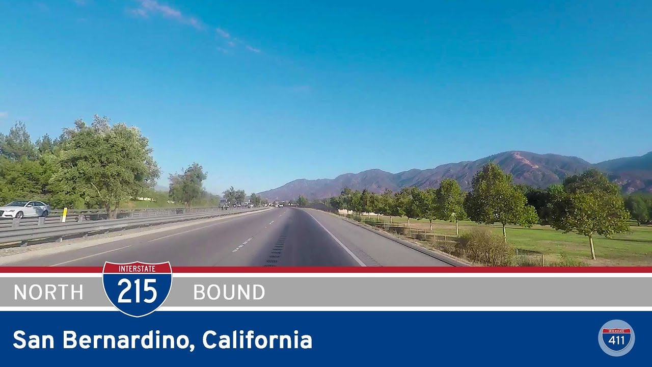
Take a short but significant drive along Interstate 215 in San Bernardino, California, from CA-210 to I-15. This 8-mile stretch links university hubs and residential neighborhoods with major regional highways, offering a quick look at Inland Empire life.
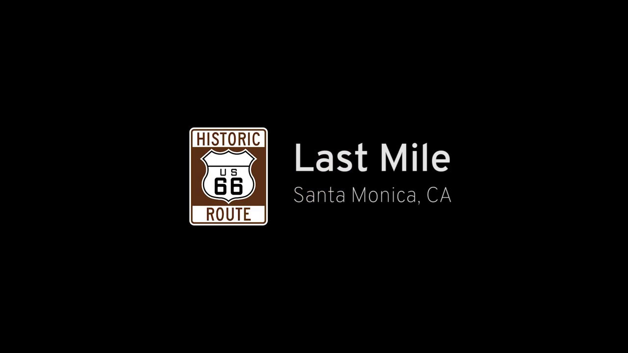
Follow the final mile of Route 66 to its symbolic end on the Santa Monica Pier. This short scenic drive along Colorado Avenue marks the iconic conclusion of America’s most historic highway.
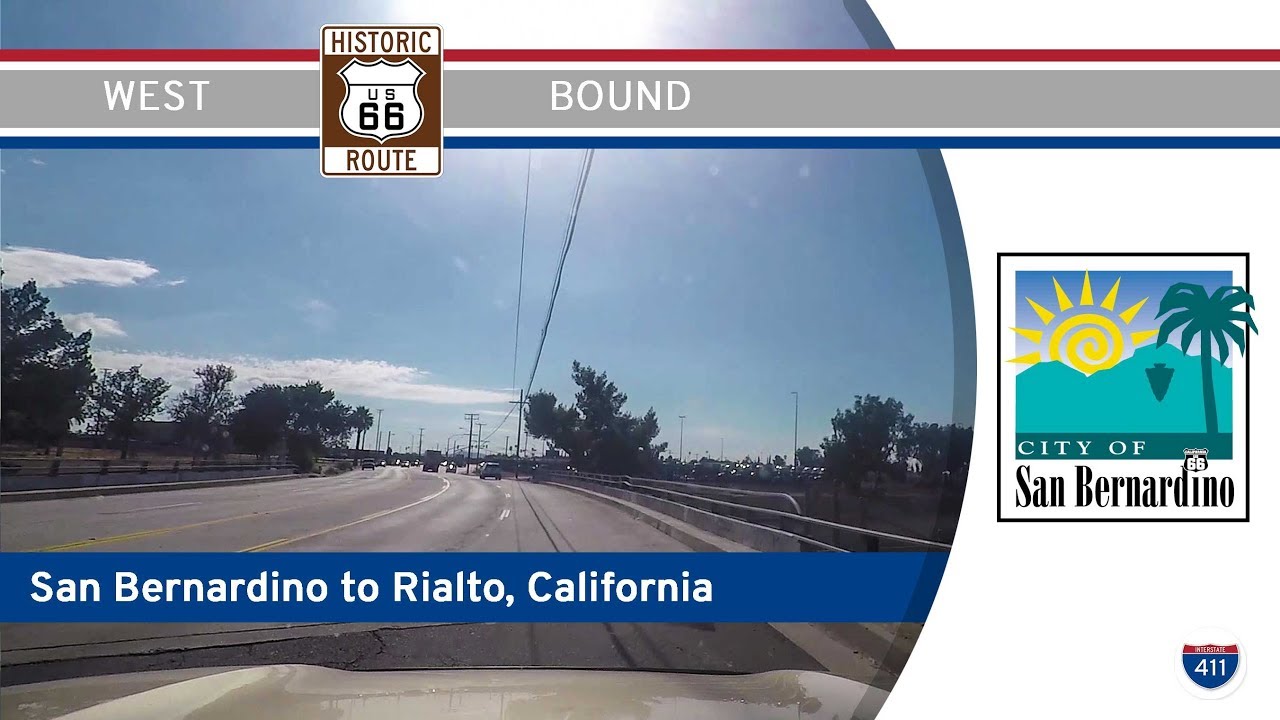
Cruise 3 miles along Historic Route 66 from San Bernardino to Rialto, California, passing vintage neighborhoods, railroads, and the iconic Wigwam Motel on this short but memorable drive.
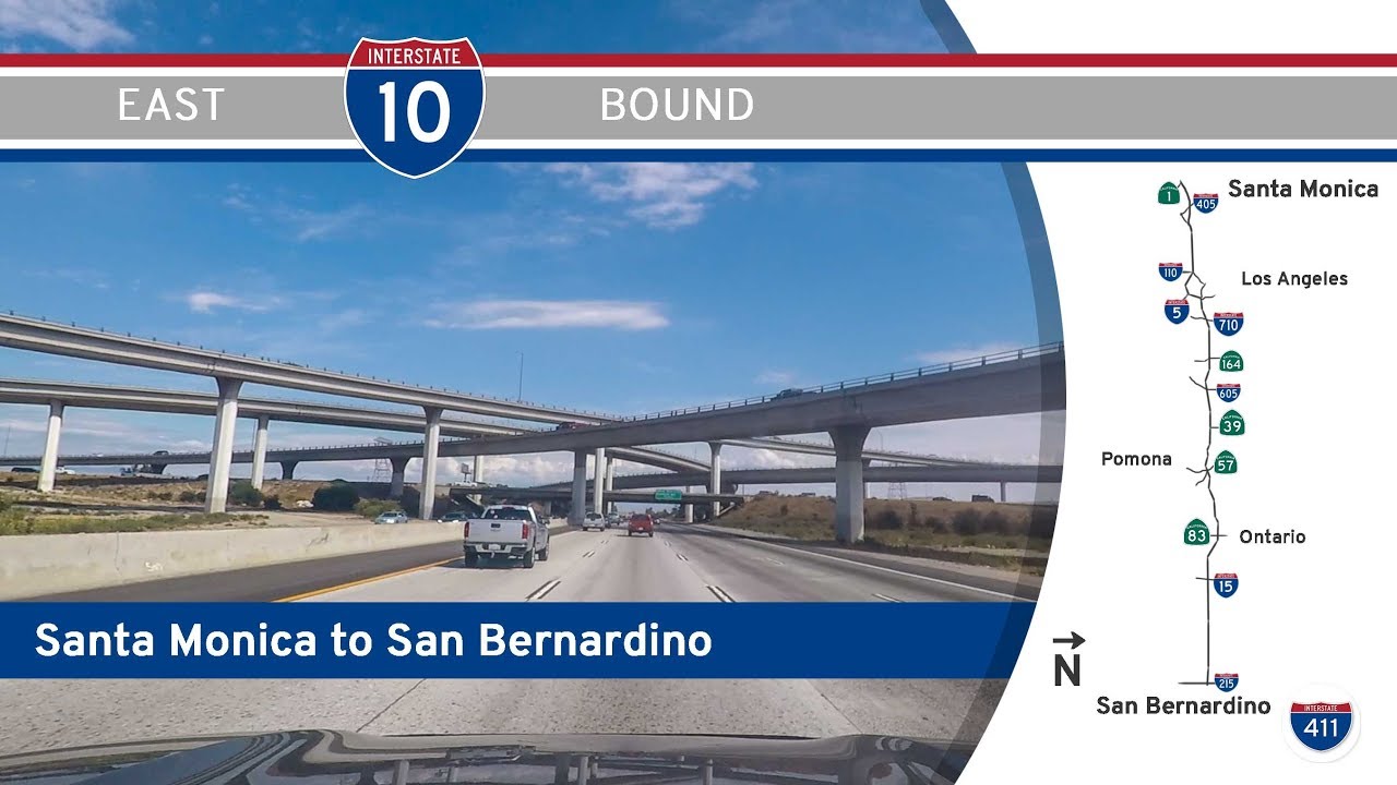
Cruise through the heart of Southern California on Interstate 10 from Santa Monica to San Bernardino. This 71-mile route showcases L.A.’s iconic interchanges, bustling neighborhoods, and Inland Empire sprawl—all from the driver’s seat.
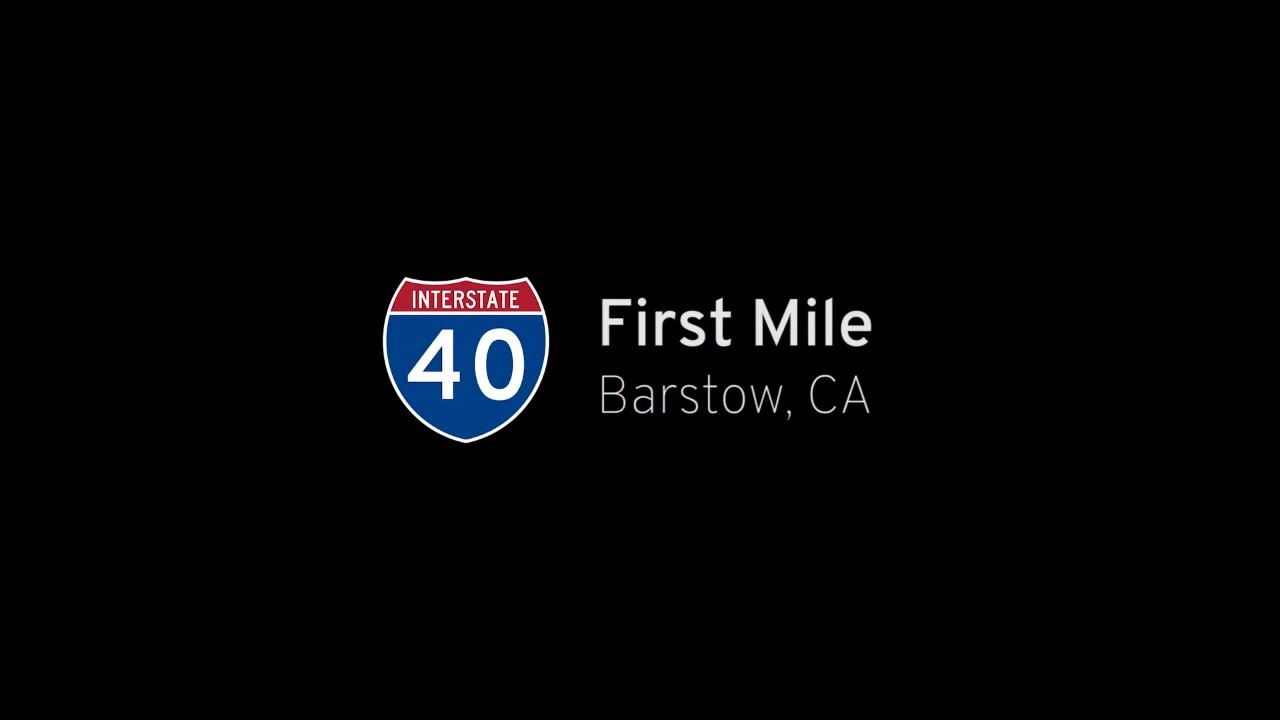
Take a short ride along the first mile of Interstate 40 eastbound in Barstow, California—where this legendary coast-to-coast route begins its journey through the Mojave Desert.
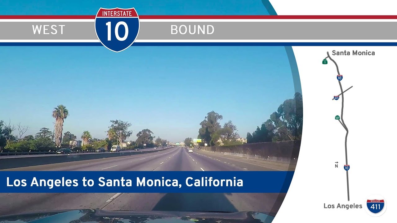
Cruise west on Interstate 10 from Downtown Los Angeles to the Santa Monica Pier in this iconic 13-mile drive across LA’s diverse neighborhoods. Follow I-10 to its western terminus at California Highway 1, just steps from the Pacific Ocean.
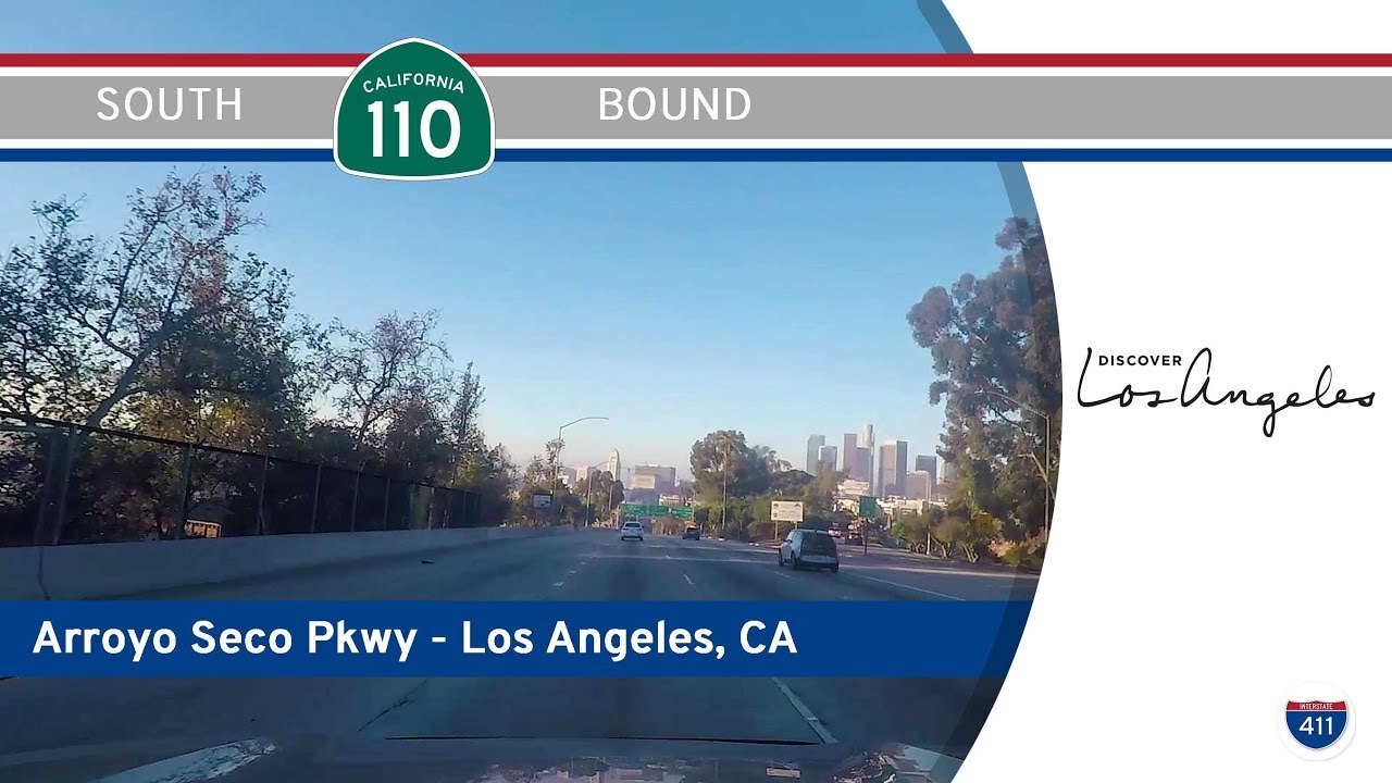
Take a scenic and historic drive down California Route 110’s Arroyo Seco Parkway from Pasadena to Los Angeles. Once part of Route 66, this iconic 10-mile freeway was the first in the western U.S. and offers vintage charm and classic LA views.