
The drive along Route M is more than just a connector between highways; it’s an invitation to slow down and experience rural Missouri at its unfiltered best. Almost immediately after turning onto M, the landscape transitions into a patchwork of farmland and forested slopes. In the spring and summer, you’ll catch fields dotted with wildflowers and the occasional herd of cattle lazing under the shade of a tree. The road itself is gently curvy—enough to keep things interesting behind the wheel, but not so twisty that you can’t relax and take in the surroundings.

About halfway along the route, you’ll cross some of the Ozarks’ classic creek valleys, where the canopy tightens up and the light filters through layers of green. The area is popular with local cyclists and motorcycle riders looking for a quick backroads spin, and it’s not uncommon to spot deer along the treeline in the early morning or late afternoon. If you’re into fishing or boating, keep an eye out for side roads leading to Table Rock Lake, which sits just a few miles west of Route M. The proximity to the lake adds an extra layer of scenic potential—especially if you’re in the mood for a little detour.
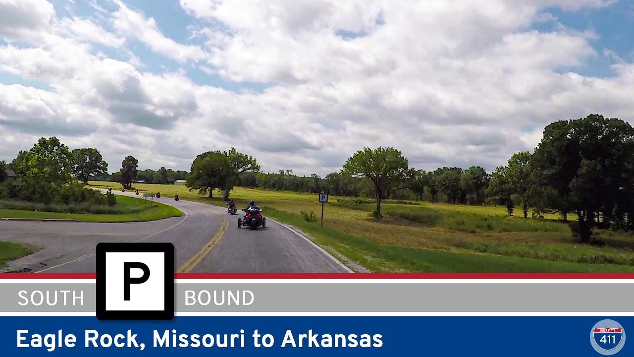
As we approach the southern end, Route M dead-ends at Big M, a well-known access point for Table Rock Lake and home to the Big M Campground and Recreation Area. This is where things shift from pure driving to outdoor adventure. The Big M park area (off Missouri Route E) is a popular launch for fishing boats, a great base camp for hikers, and an excellent spot for a lakeside picnic. If you’re visiting in the summer, the area is alive with the sound of boat motors and the smell of barbecue drifting through the campgrounds. Even if you’re just passing through, it’s worth pulling off to stretch your legs, watch the water, or catch a glimpse of the lake’s famously clear blue surface.
🗺️ Route Map
0 Comments